Transport Functions
Port
Hub Profile
Place type
National capital
Population
624
Time zone
Pacific/Niue
Elevation
51 m
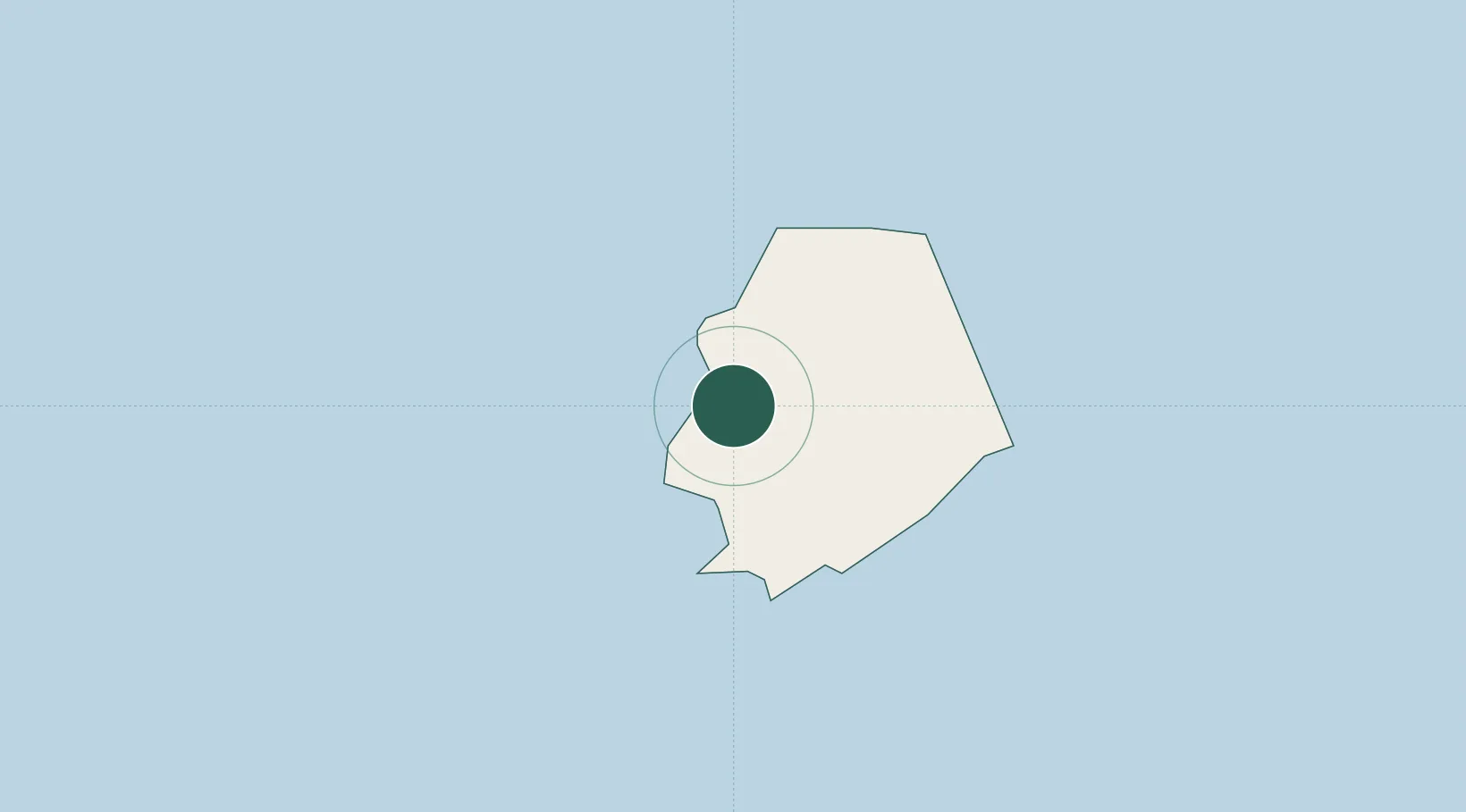
Location
Nearby Logistics Neighbours
Cities
- 1Nuku'alofa598 km
- 2Halalo925 km
- 3Matâ'utu927 km
- 4Sigavé1026 km
- 5Fakaofo1086 km
Ports
- 1Neiafu430 km
- 2Pangai472 km
- 3Pago Pago Harbor536 km
- 4Nuku Alofa598 km
- 5Apia614 km
Airports
- 1Niue International Airport3 km
- 2Vava'u International Airport429 km
- 3Lifuka Island Airport471 km
- 4Pago Pago International Airport532 km
- 5Kuini Lavenia Airport534 km
Trade Zones
- 1FTZ No. 009 Honolulu4675 km
- 2FTZ No. 205 Port Hueneme7986 km
- 3FTZ No. 202 Los Angeles8022 km
- 4FTZ No. 153 San Diego8033 km
- 5FTZ No. 018 San Jose8036 km
DatabookThe Record of Consolidated Knowledge
Niue beyond logistics?