Small airport · Fiji
Matei AirportNFNM
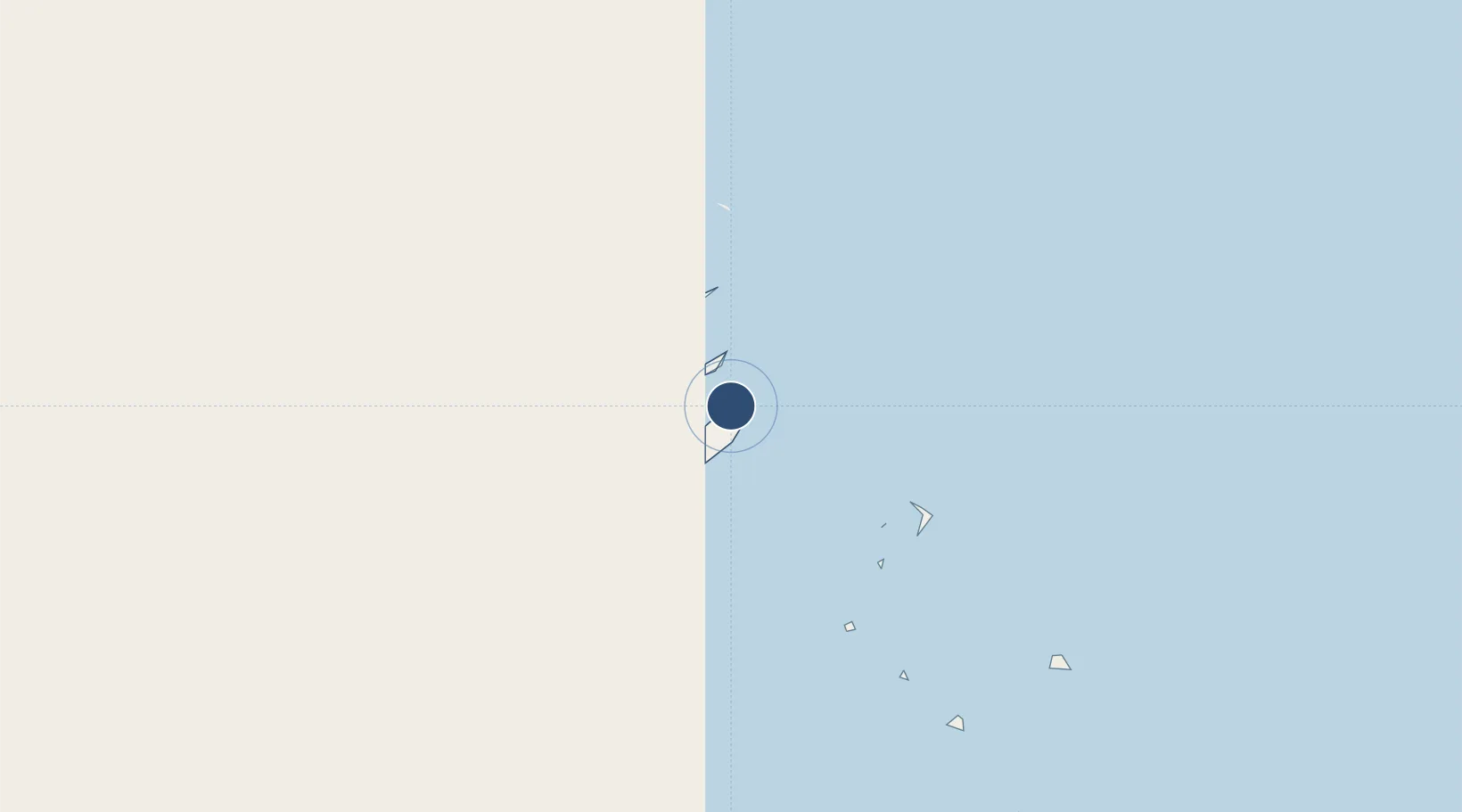
-16.6906°, -179.8770°
3,232 ft
Longest runway
1
Runways
60 ft
Elevation
Runway & Layout

Navaids
MT NDB Matei 296 kHz
Runways · 1
| Runway | Dimensions | Surface | True heading | Lit |
|---|---|---|---|---|
| 11/29 | 3,232 × 75ft | Unknown | — | — |
Airport Specifications
IATA code
TVU
ICAO code
NFNM
Airport class
Small airport
Scheduled service
Yes
Runway surface
Unknown
Served city
Matei
Location
Nearby Logistics Neighbours
Airports
- 1Vanua Balavu Airport115 km
- 2Cicia Airport130 km
- 3Lakeba Island Airport202 km
- 4Pointe Vele Airport328 km
- 5Hihifo Airport551 km
Cities
- 1Sigavé324 km
- 2Halalo542 km
- 3Matâ'utu549 km
- 4Nuku'alofa697 km
- 5Alofi1086 km
Ports
- 1Mata-Utu552 km
- 2Neiafu661 km
- 3Pangai678 km
- 4Nuku Alofa697 km
- 5Apia927 km
Trade Zones
- 1FTZ No. 009 Honolulu4859 km
- 2FTZ No. 003 San Francisco8523 km
- 3FTZ No. 018 San Jose8532 km
- 4FTZ No. 056 Oakland8533 km
- 5FTZ No. 205 Port Hueneme8549 km
DatabookThe Record of Consolidated Knowledge
Fiji beyond logistics?