Runway & Layout

Airport Specifications
IATA code
VBV
ICAO code
NFVB
Airport class
Small airport
Scheduled service
Yes
Served city
Vanua Balavu
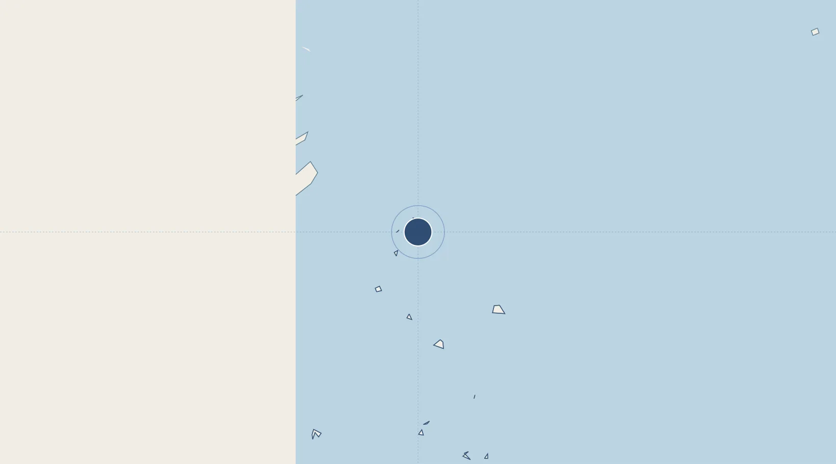
Location
Nearby Logistics Neighbours
Airports
- 1Cicia Airport66 km
- 2Lakeba Island Airport105 km
- 3Matei Airport115 km
- 4Pointe Vele Airport343 km
- 5Hihifo Airport538 km
Cities
- 1Sigavé343 km
- 2Halalo528 km
- 3Matâ'utu535 km
- 4Nuku'alofa585 km
- 5Alofi977 km
Ports
- 1Mata-Utu538 km
- 2Neiafu550 km
- 3Pangai563 km
- 4Nuku Alofa585 km
- 5Apia862 km
Trade Zones
- 1FTZ No. 009 Honolulu4867 km
- 2FTZ No. 003 San Francisco8505 km
- 3FTZ No. 018 San Jose8513 km
- 4FTZ No. 056 Oakland8515 km
- 5FTZ No. 205 Port Hueneme8521 km
DatabookThe Record of Consolidated Knowledge
Fiji beyond logistics?