Small airport · Wallis & Futuna
Pointe Vele AirportNLWF
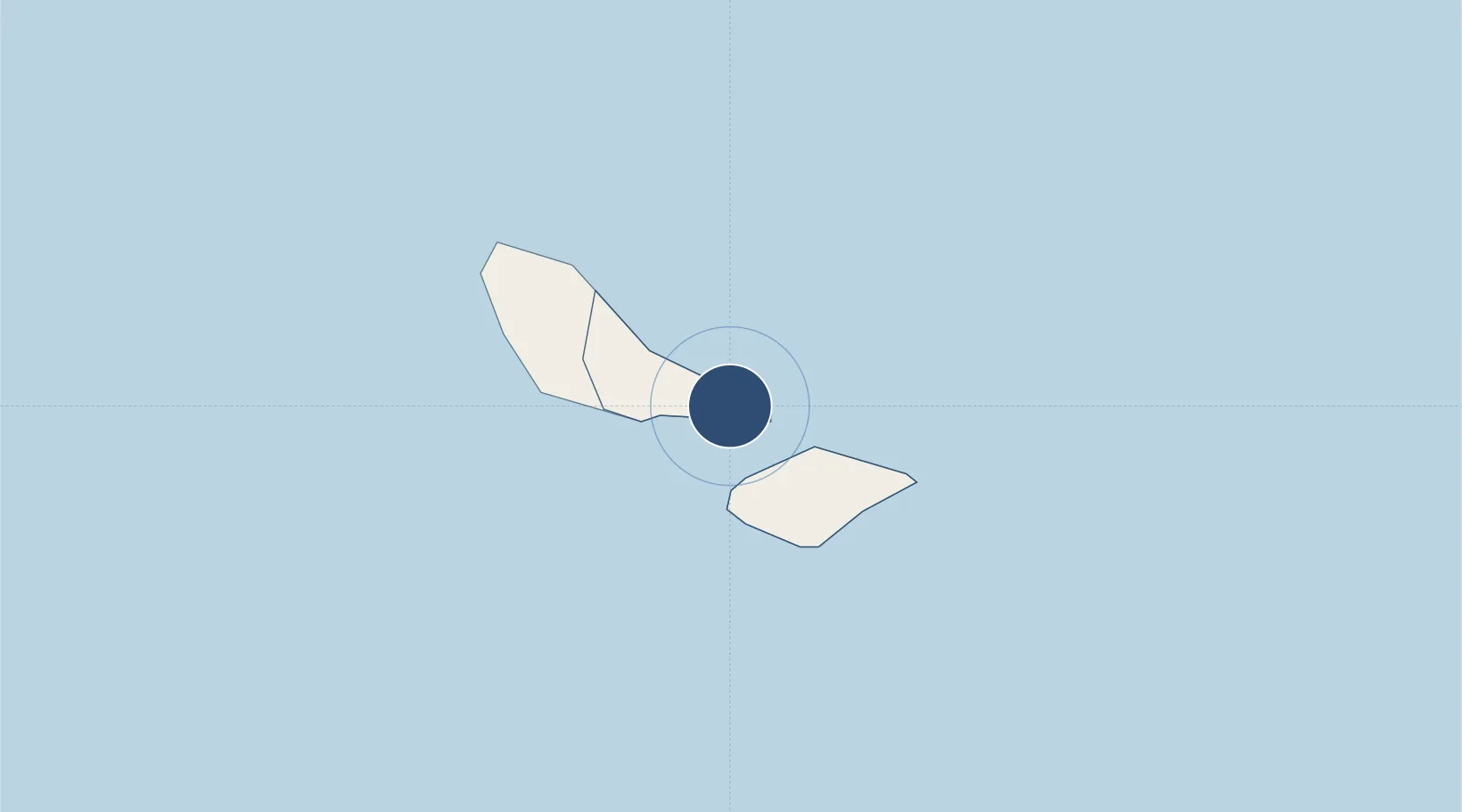
-14.3116°, -178.0665°
3,609 ft
Longest runway
1
Runways
20 ft
Elevation
Runway & Layout

Navaids
FN NDB Futuna 326 kHz
Runways · 1
| Runway | Dimensions | Surface | True heading | Lit |
|---|---|---|---|---|
| 07/25 | 3,609 × 98ft | Unknown | — | — |
Airport Specifications
IATA code
FUT
ICAO code
NLWF
Airport class
Small airport
Scheduled service
Yes
Runway surface
Unknown
Served city
Futuna Island
Location
Nearby Logistics Neighbours
Airports
- 1Hihifo Airport234 km
- 2Matei Airport328 km
- 3Vanua Balavu Airport343 km
- 4Cicia Airport405 km
- 5Lakeba Island Airport440 km
Cities
- 1Sigavé11 km
- 2Halalo227 km
- 3Matâ'utu233 km
- 4Nuku'alofa817 km
- 5Atafu882 km
Ports
- 1Mata-Utu238 km
- 2Neiafu650 km
- 3Apia682 km
- 4Pangai727 km
- 5Pago Pago Harbor797 km
Trade Zones
- 1FTZ No. 009 Honolulu4533 km
- 2FTZ No. 003 San Francisco8198 km
- 3FTZ No. 056 Oakland8207 km
- 4FTZ No. 018 San Jose8207 km
- 5FTZ No. 205 Port Hueneme8227 km
DatabookThe Record of Consolidated Knowledge
Wallis & Futuna beyond logistics?