Transport Functions
Port
Airport
Postal
Hub Profile
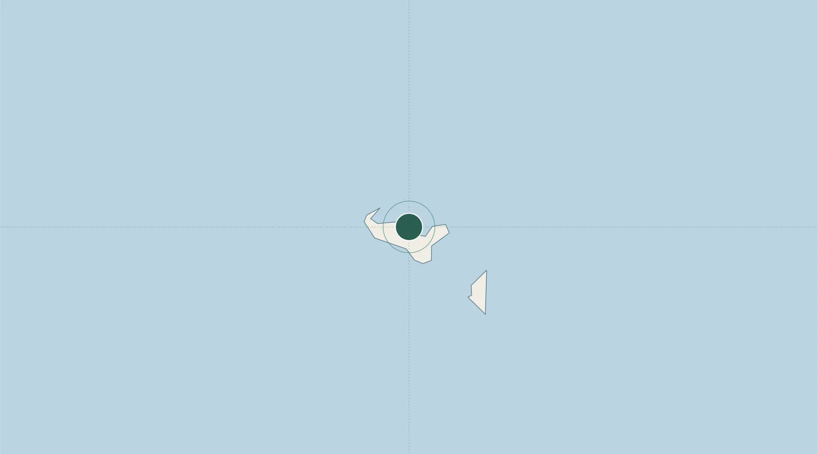
Place type
National capital
Region
Tongatapu
Population
22,400
Time zone
Pacific/Tongatapu
Elevation
1 m
Location
Nearby Logistics Neighbours
Airports
- 1Fua'amotu International Airport13 km
- 2Kaufana Airport37 km
- 3Lifuka Island Airport175 km
- 4Vava'u International Airport312 km
- 5Lakeba Island Airport500 km
Trade Zones
- 1FTZ No. 009 Honolulu5080 km
- 2FTZ No. 205 Port Hueneme8534 km
- 3FTZ No. 003 San Francisco8564 km
- 4FTZ No. 018 San Jose8566 km
- 5FTZ No. 056 Oakland8573 km
DatabookThe Record of Consolidated Knowledge
Tonga beyond logistics?