Runway & Layout

Airport Specifications
IATA code
ICI
ICAO code
NFCI
Airport class
Small airport
Scheduled service
Yes
Served city
Cicia
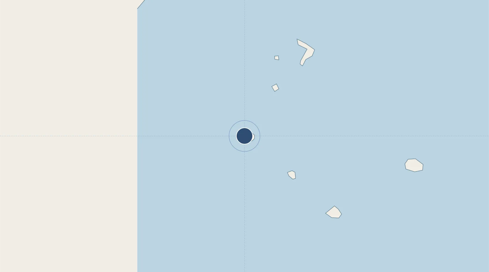
Location
Nearby Logistics Neighbours
Airports
- 1Vanua Balavu Airport66 km
- 2Lakeba Island Airport75 km
- 3Matei Airport130 km
- 4Pointe Vele Airport405 km
- 5Lifuka Island Airport573 km
Cities
- 1Sigavé405 km
- 2Nuku'alofa575 km
- 3Halalo594 km
- 4Matâ'utu600 km
- 5Alofi1005 km
Ports
- 1Pangai573 km
- 2Neiafu575 km
- 3Nuku Alofa575 km
- 4Mata-Utu603 km
- 5Apia921 km
Trade Zones
- 1FTZ No. 009 Honolulu4932 km
- 2FTZ No. 003 San Francisco8570 km
- 3FTZ No. 018 San Jose8578 km
- 4FTZ No. 056 Oakland8580 km
- 5FTZ No. 205 Port Hueneme8586 km
DatabookThe Record of Consolidated Knowledge
Fiji beyond logistics?