UN/LOCODE hub · Wallis & Futuna
WFHLO

Halalo

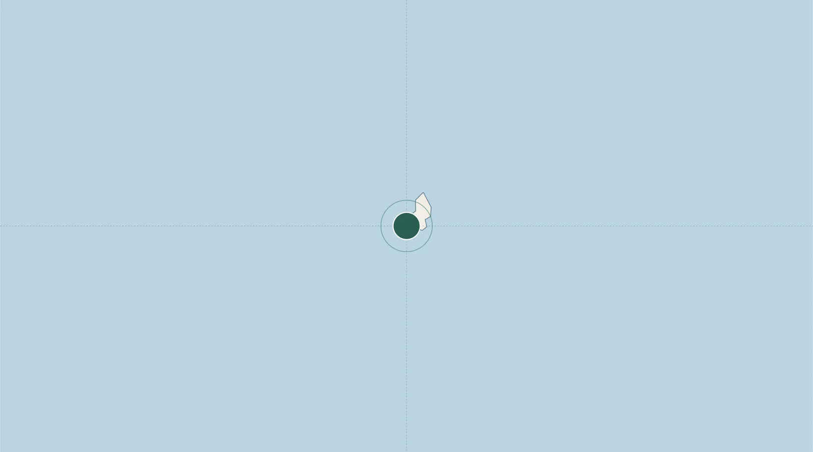
-13.3333°, -176.2167°
563
Population
2
Transport functions

Transport Functions

Port
Road
UN/LOCODE

Hub Profile

Place type
Populated place
GeoNames
Region
Uvea
GeoNames
Population
563
GeoNames
Time zone
Pacific/Wallis
GeoNames
Elevation
14 m
GeoNames

Location

Location of WFHLO
Natural Earth 10m (public domain) · Uvea · WFHLO · -13.33, -176.22GoogleOSMYandex

Nearby Logistics Neighbours

Cities
  1. 1Matâ'utu7 km
  2. 2Sigavé236 km
  3. 3Nukunonu664 km
  4. 4Atafu669 km
  5. 5Fakaofo698 km
Nearest neighbours — logibook spatial index (haversine) over the source coordinates
Ports
  1. 1Mata-Utu11 km
  2. 2Apia484 km
  3. 3Pago Pago Harbor609 km
  4. 4Neiafu638 km
  5. 5Pangai746 km
Nearest neighbours — logibook spatial index (haversine) over the source coordinates
Airports
  1. 1Hihifo Airport11 km
  2. 2Pointe Vele Airport227 km
  3. 3Kuini Lavenia Airport393 km
  4. 4Faleolo International Airport458 km
  5. 5Vanua Balavu Airport528 km
Nearest neighbours — logibook spatial index (haversine) over the source coordinates
Trade Zones
  1. 1FTZ No. 009 Honolulu4341 km
  2. 2FTZ No. 003 San Francisco7983 km
  3. 3FTZ No. 018 San Jose7991 km
  4. 4FTZ No. 056 Oakland7992 km
  5. 5FTZ No. 205 Port Hueneme8007 km
Nearest neighbours — logibook spatial index (haversine) over the source coordinates
DatabookThe Record of Consolidated Knowledge
Wallis & Futuna beyond logistics?
Browse databook

All Sources

LocationsUN/LOCODE
UN/LOCODE — free
LocationsGeoNames
CC BY 4.0
Portsthe NGA World Port Index
Public domain (US gov)
AirportsOurAirports
Public domain
Trade Zonesthe World Bank SEZ database
CC BY 4.0
Trade ZonesOpen Zone Map
CC BY
← Wallis & Futuna locations