Medium airport · Tonga
Lifuka Island AirportNFTL
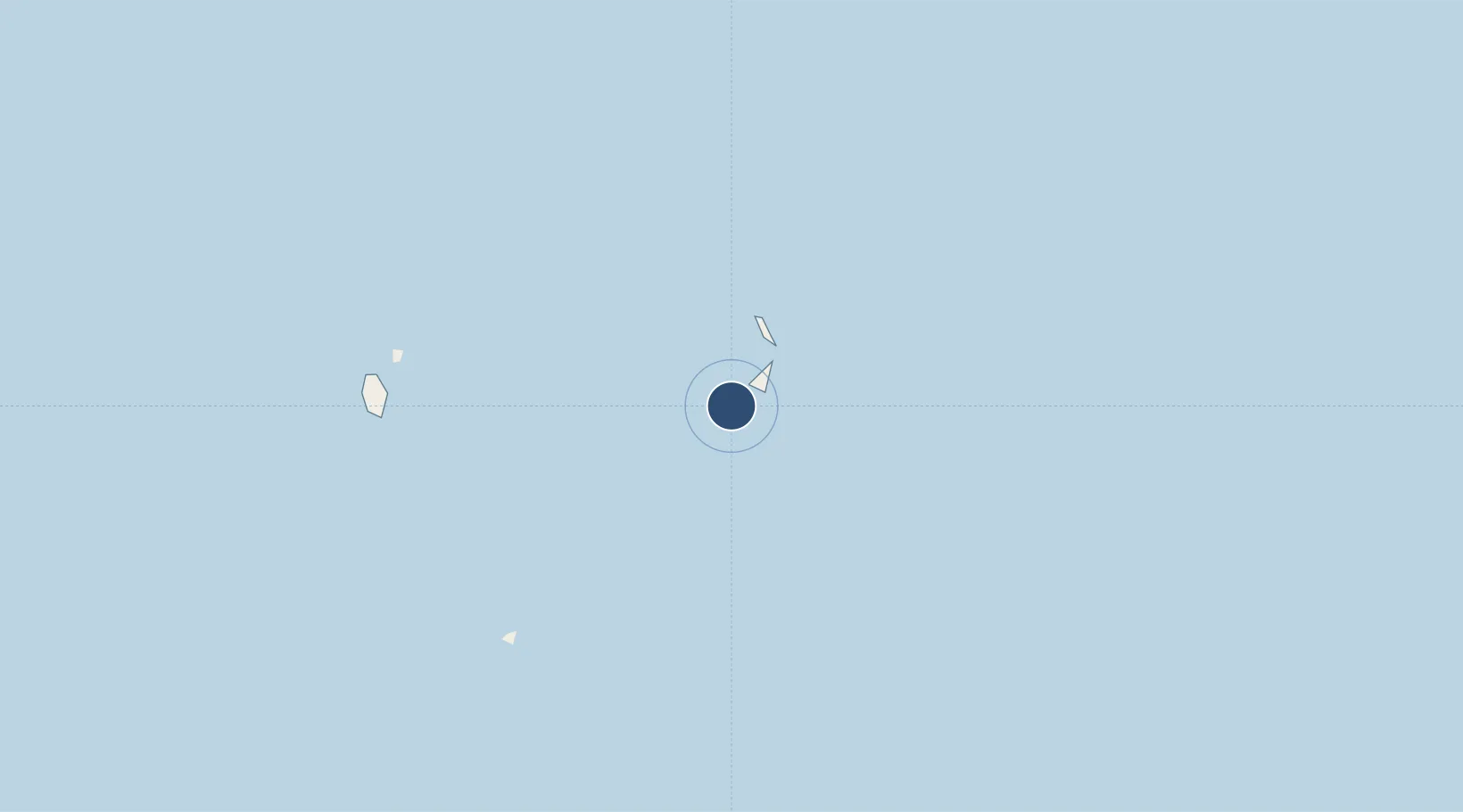
-19.7770°, -174.3410°
3,937 ft
Longest runway
1
Runways
31 ft
Elevation
Runway & Layout

Radio Frequencies
AFIS
118.1 MHz
LIFUKA FS
FSS
118.1 MHz
LIFUKA FS
Navaids
HA NDB Haapai 380 kHz
Runways · 1
| Runway | Dimensions | Surface | True heading | Lit |
|---|---|---|---|---|
| 11/29 | 3,937 × 98ft | Bitumen | 120° | ✓ |
Airport Specifications
IATA code
HPA
ICAO code
NFTL
Airport class
Medium airport
Scheduled service
Yes
Runway surface
Bitumen
Served city
Lifuka
Location
Nearby Logistics Neighbours
Airports
- 1Vava'u International Airport138 km
- 2Fua'amotu International Airport183 km
- 3Kaufana Airport189 km
- 4Kuini Lavenia Airport427 km
- 5Niue International Airport470 km
Cities
- 1Nuku'alofa175 km
- 2Alofi471 km
- 3Sigavé734 km
- 4Halalo744 km
- 5Matâ'utu748 km
Ports
- 1Pangai3 km
- 2Neiafu131 km
- 3Nuku Alofa175 km
- 4Alofi470 km
- 5Apia717 km
Trade Zones
- 1FTZ No. 009 Honolulu4907 km
- 2FTZ No. 205 Port Hueneme8364 km
- 3FTZ No. 003 San Francisco8391 km
- 4FTZ No. 018 San Jose8393 km
- 5FTZ No. 056 Oakland8400 km
DatabookThe Record of Consolidated Knowledge
Tonga beyond logistics?