UN/LOCODE hub · Wallis & Futuna
WFMAU
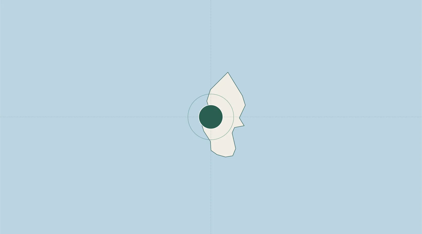
Matâ'utu
-13.2833°, -176.1833°
1,200
Population
3
Transport functions
Transport Functions
Port
Road
Postal
Hub Profile
Place type
National capital
Region
Uvea
Population
1,200
Time zone
Pacific/Wallis
Elevation
15 m
Location
Nearby Logistics Neighbours
Ports
- 1Apia481 km
- 2Pago Pago Harbor606 km
- 3Neiafu641 km
- 4Pangai751 km
- 5Nuku Alofa879 km
Airports
- 1Hihifo Airport5 km
- 2Pointe Vele Airport233 km
- 3Kuini Lavenia Airport395 km
- 4Faleolo International Airport455 km
- 5Vanua Balavu Airport535 km
Trade Zones
- 1FTZ No. 009 Honolulu4335 km
- 2FTZ No. 003 San Francisco7976 km
- 3FTZ No. 018 San Jose7985 km
- 4FTZ No. 056 Oakland7985 km
- 5FTZ No. 205 Port Hueneme8000 km
DatabookThe Record of Consolidated Knowledge
Wallis & Futuna beyond logistics?