Transport Functions
Port
Road
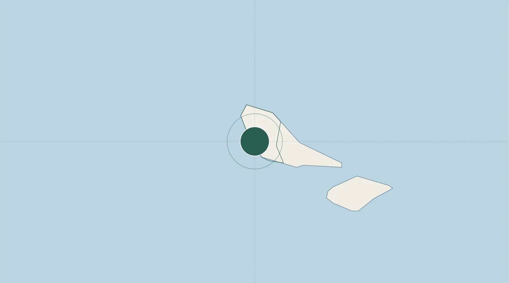
Location
Nearby Logistics Neighbours
Cities
- 1Halalo236 km
- 2Matâ'utu241 km
- 3Nuku'alofa824 km
- 4Atafu888 km
- 5Nukunonu892 km
Ports
- 1Mata-Utu246 km
- 2Neiafu659 km
- 3Apia692 km
- 4Pangai735 km
- 5Pago Pago Harbor808 km
Airports
- 1Pointe Vele Airport11 km
- 2Hihifo Airport242 km
- 3Matei Airport324 km
- 4Vanua Balavu Airport343 km
- 5Cicia Airport405 km
Trade Zones
- 1FTZ No. 009 Honolulu4535 km
- 2FTZ No. 003 San Francisco8203 km
- 3FTZ No. 056 Oakland8212 km
- 4FTZ No. 018 San Jose8212 km
- 5FTZ No. 205 Port Hueneme8233 km
DatabookThe Record of Consolidated Knowledge
Wallis & Futuna beyond logistics?