Medium airport · Mexico

Angel Albino Corzo International AirportMMTG
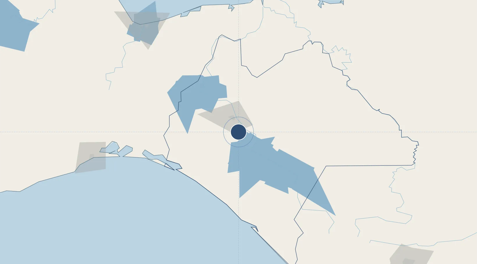
16.5616°, -93.0257°
8,202 ft
Longest runway
1
Runways
1,499 ft
Elevation

Runway & Layout

Angel Albino Corzo International Airport runway & taxiway layout
Runway & taxiway layout — OpenStreetMap (ODbL) / OurAirports

Navaids

TGZ VOR-DME Tuxtla 113.90 MHz
OurAirports

Runways · 1

RunwayDimensions SurfaceTrue headingLit
15/33 8,202 × 148ft Asphalt 148°
OurAirports

Airport Specifications

IATA code
TGZ
OurAirports
ICAO code
MMTG
OurAirports
Airport class
Medium airport
OurAirports
Scheduled service
Yes
OurAirports
Runway surface
Asphalt
OurAirports
Served city
Tuxtla Gutiérrez
OurAirports

Location

Location of MMTG
Natural Earth 10m (public domain) · Chiapas · MMTG · 16.56, -93.03GoogleOSMYandex

Nearby Logistics Neighbours

Airports
  1. 1Terán Air Base25 km
  2. 2Carlos Rovirosa Pérez International Airport161 km
  3. 3Tapachula International Airport209 km
  4. 4Huehuetenango Airport214 km
  5. 5General Antonio Cárdenas Rodríguez National Airport / Ixtepec Air Base221 km
Nearest neighbours — logibook spatial index (haversine) over the source coordinates
Cities
  1. 1Chiltepec206 km
  2. 2Juchitán de Zaragoza213 km
  3. 3Dos Bocas Terminal216 km
  4. 4Puerto Madero216 km
  5. 5Ixhuatlan del Sureste217 km
Nearest neighbours — logibook spatial index (haversine) over the source coordinates
Ports
  1. 1Dos Bocas Terminal209 km
  2. 2Puerto Madero216 km
  3. 3Minatitlan223 km
  4. 4Frontera223 km
  5. 5Nanchital223 km
Nearest neighbours — logibook spatial index (haversine) over the source coordinates
Trade Zones
  1. 1Zona Economica Especial de Tabasco209 km
  2. 2Special Economic Zone of Puerto Chiapas217 km
  3. 3Special Economic Zone of Coatzacoalcos235 km
  4. 4Special Economic Zone of Salina Cruz241 km
  5. 5Zona Franca Cropa345 km
Nearest neighbours — logibook spatial index (haversine) over the source coordinates
DatabookThe Record of Consolidated Knowledge
Mexico beyond logistics?
Browse databook

All Sources

AirportsOurAirports
Public domain
Portsthe NGA World Port Index
Public domain (US gov)
LocationsUN/LOCODE
UN/LOCODE — free
Trade Zonesthe World Bank SEZ database
CC BY 4.0
Trade ZonesOpen Zone Map
CC BY
InfrastructureOpenStreetMap
ODbL 1.0
← Mexico airports