Transport Functions
Rail
Road
Hub Profile
Place type
Provincial seat
Region
Central Serbia
Population
61,035
Time zone
Europe/Belgrade
Elevation
180 m
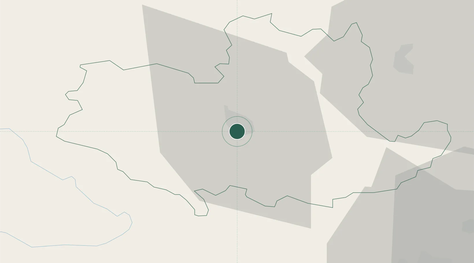
Location
Nearby Logistics Neighbours
Airports
- 1Ponikve Airport44 km
- 2Belgrade Nikola Tesla Airport70 km
- 3Morava Airport75 km
- 4Batajnica Air Base80 km
- 5Tuzla International Airport95 km
Trade Zones
- 1ō abac Free Zone44 km
- 2Uō¾ice Free Zone47 km
- 3Beograd Free Zone78 km
- 4Priboj Free Zone78 km
- 5FAS Free Zone Kragujevac87 km
DatabookThe Record of Consolidated Knowledge
Serbia beyond logistics?