UN/LOCODE hub · Serbia
RSCAC

Cacak

43.8833°, 20.3333°
117,072
Population
2
Transport functions

Transport Functions

Rail
Road
UN/LOCODE

Hub Profile

Place type
Provincial seat
GeoNames
Region
Central Serbia
GeoNames
Population
117,072
GeoNames
Time zone
Europe/Belgrade
GeoNames
Elevation
241 m
GeoNames
Logistics facilities
1
UN/LOCODE

Location

Location of RSCAC
Natural Earth 10m (public domain) · Central Serbia · RSCAC · 43.88, 20.33GoogleOSMYandex

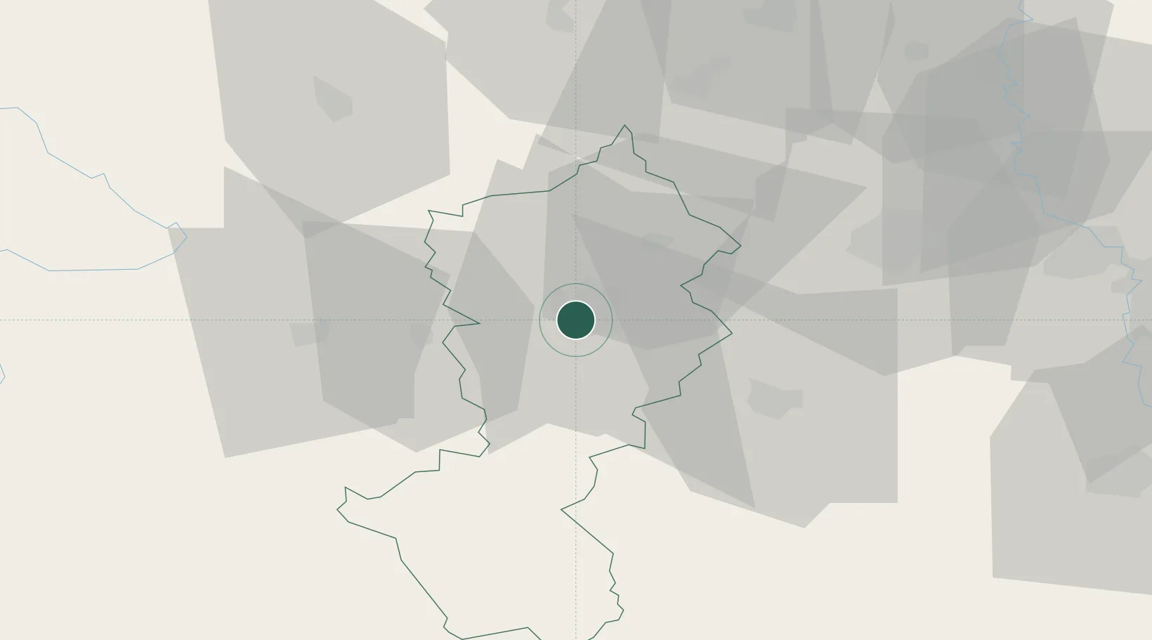
Nearby Logistics Neighbours

Cities
  1. 1Gornji Milanovac19 km
  2. 2Bresnica20 km
  3. 3Pozega25 km
  4. 4Knic31 km
  5. 5Kraljevo36 km
Nearest neighbours — logibook spatial index (haversine) over the source coordinates
Ports
  1. 1Risan202 km
  2. 2Kotor207 km
  3. 3Tivat209 km
  4. 4Bar225 km
  5. 5Dubrovnik227 km
Nearest neighbours — logibook spatial index (haversine) over the source coordinates
Airports
  1. 1Morava Airport22 km
  2. 2Ponikve Airport51 km
  3. 3Belgrade Nikola Tesla Airport104 km
  4. 4Batajnica Air Base117 km
  5. 5Niš Constantine the Great Airport137 km
Nearest neighbours — logibook spatial index (haversine) over the source coordinates
Trade Zones
  1. 1Uō¾ice Free Zone35 km
  2. 2FAS Free Zone Kragujevac47 km
  3. 3Priboj Free Zone73 km
  4. 4Svilajnac Free Zone81 km
  5. 5Kruševac Free Zone90 km
Nearest neighbours — logibook spatial index (haversine) over the source coordinates
DatabookThe Record of Consolidated Knowledge
Serbia beyond logistics?
Browse databook

All Sources

LocationsUN/LOCODE
UN/LOCODE — free
LocationsGeoNames
CC BY 4.0
Portsthe NGA World Port Index
Public domain (US gov)
AirportsOurAirports
Public domain
Trade Zonesthe World Bank SEZ database
CC BY 4.0
Trade ZonesOpen Zone Map
CC BY
← Serbia locations