Transport Functions
Rail
Hub Profile
Place type
Populated place
Region
Saskatchewan
Time zone
America/Regina
Elevation
579 m
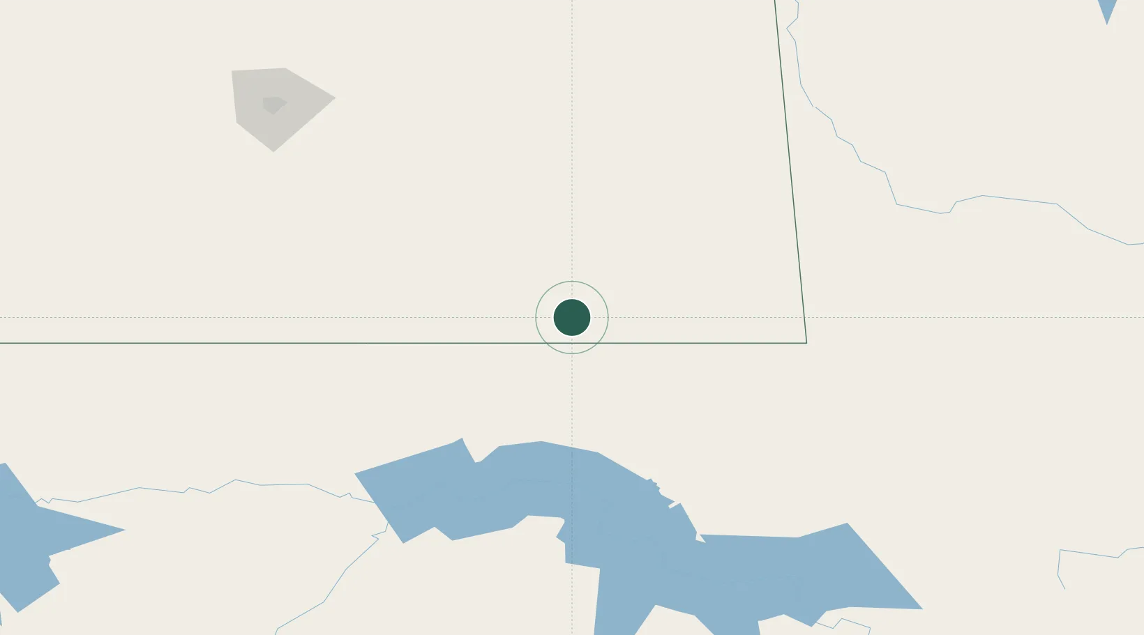
Location
Nearby Logistics Neighbours
Cities
- 1North Portal25 km
- 2Macoun39 km
- 3Oxbow47 km
- 4Carlyle66 km
- 5Fillmore94 km
Ports
- 1Duluth839 km
- 2Superior843 km
- 3Two Harbors861 km
- 4Bayfield928 km
- 5Washburn929 km
Airports
Trade Zones
- 1Global Transportation Hub Authority201 km
- 2Winnipegs Centreport Canada417 km
- 3FTZ No. 103 Grand Forks436 km
- 4FTZ No. 267 Fargo503 km
- 5FTZ No. 259 Koochiching County630 km
DatabookThe Record of Consolidated Knowledge
Canada beyond logistics?