Medium airport · United States

Ocean Reef Club Airport07FA
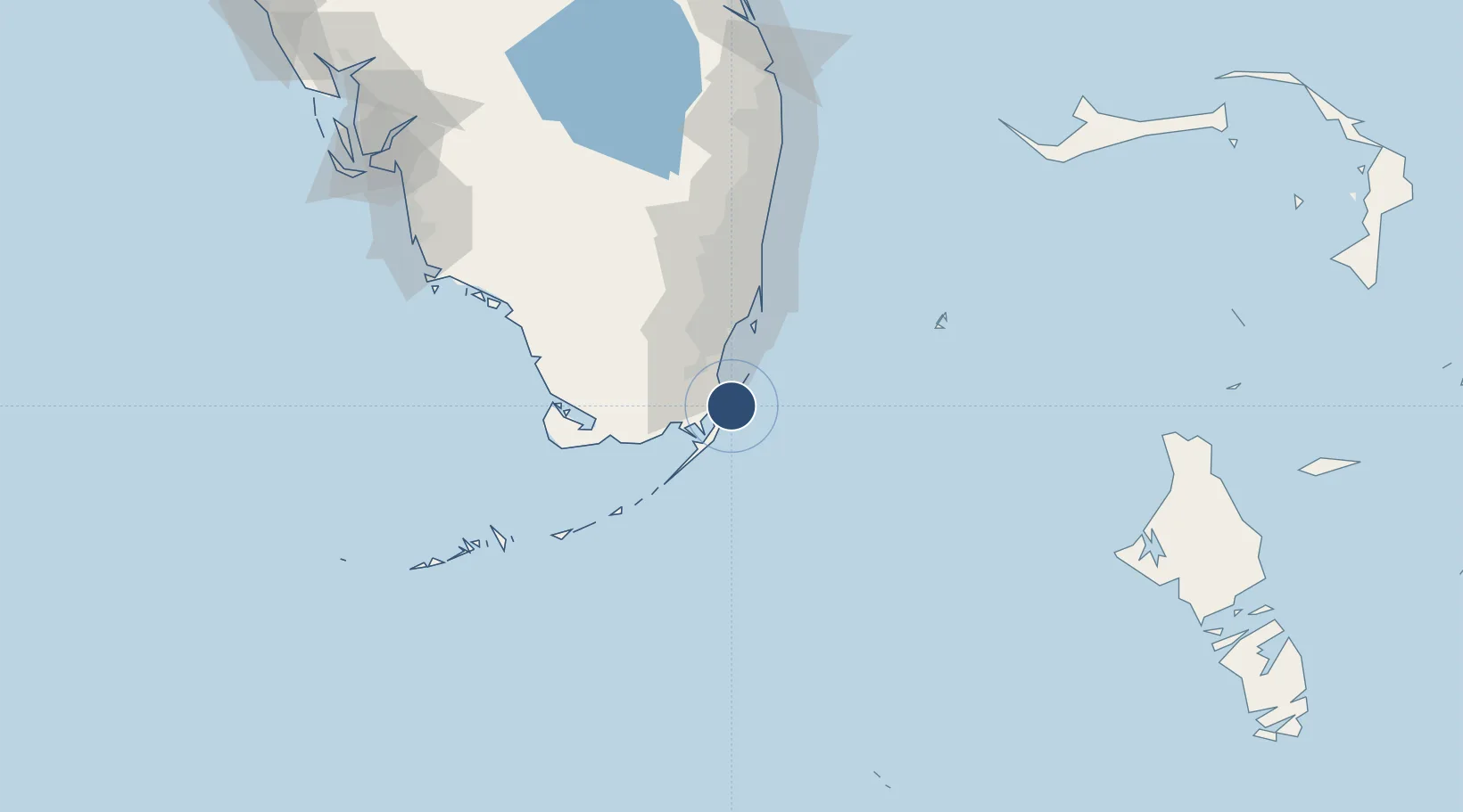
25.3254°, -80.2748°
4,500 ft
Longest runway
1
Runways
8 ft
Elevation

Runway & Layout

Ocean Reef Club Airport runway & taxiway layout
Runway & taxiway layout — OpenStreetMap (ODbL) / OurAirports

Radio Frequencies

UNIC
122.7 MHz
UNICOM
OurAirports

Runways · 1

RunwayDimensions SurfaceTrue headingLit
04/22 4,500 × 70ft ASPH 040°
OurAirports

Airport Specifications

IATA code
OCA
OurAirports
ICAO code
07FA
OurAirports
Airport class
Medium airport
OurAirports
Scheduled service
No
OurAirports
Runway surface
ASPH
OurAirports
Served city
Key Largo
OurAirports

Location

Location of 07FA
Natural Earth 10m (public domain) · Florida · 07FA · 25.33, -80.27GoogleOSMYandex

Nearby Logistics Neighbours

Airports
  1. 1Homestead Air Reserve Base21 km
  2. 2Miami Homestead General Aviation Airport34 km
  3. 3Miami Executive Airport39 km
  4. 4Miami International Airport52 km
  5. 5Miami-Opa Locka Executive Airport65 km
Nearest neighbours — logibook spatial index (haversine) over the source coordinates
Cities
  1. 1Florida City25 km
  2. 2Naranja26 km
  3. 3Palmetto Bay33 km
  4. 4Kings Bay34 km
  5. 5Coconut Grove44 km
Nearest neighbours — logibook spatial index (haversine) over the source coordinates
Ports
  1. 1Miami52 km
  2. 2Port Everglades88 km
  3. 3Palm Beach162 km
  4. 4Key West178 km
  5. 5Freeport200 km
Nearest neighbours — logibook spatial index (haversine) over the source coordinates
Trade Zones
  1. 1FTZ No. 032 Miami52 km
  2. 2FTZ No. 281 Miami-Dade County53 km
  3. 3FTZ No. 180 Miami (Wynwood)54 km
  4. 4FTZ No. 025 Broward County85 km
  5. 5FTZ No. 241 Fort Lauderdale98 km
Nearest neighbours — logibook spatial index (haversine) over the source coordinates
DatabookThe Record of Consolidated Knowledge
United States beyond logistics?
Browse databook

All Sources

AirportsOurAirports
Public domain
Portsthe NGA World Port Index
Public domain (US gov)
LocationsUN/LOCODE
UN/LOCODE — free
Trade Zonesthe World Bank SEZ database
CC BY 4.0
Trade ZonesOpen Zone Map
CC BY
InfrastructureOpenStreetMap
ODbL 1.0
← United States airports