Medium airport · United States
Rapid City Regional AirportKRAP
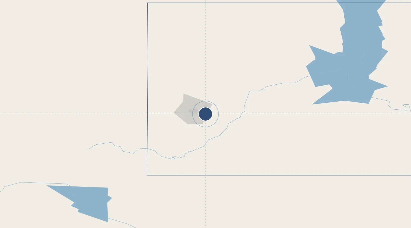
44.0453°, -103.0570°
8,701 ft
Longest runway
2
Runways
3,204 ft
Elevation
Runway & Layout

Radio Frequencies
ASOS
118.525 MHz
TWR
125.85 MHz
GND
121.9 MHz
APP
119.5 MHz
ELLSWORTH APP
DEP
119.5 MHz
ELLSWORTH DEP
CTAF
125.85 MHz
OPS
41.5 MHz
ARNG OPS
RDO
122.65 MHz
HURON RDO
UNIC
122.95 MHz
UNICOM
Navaids
RA NDB Ranch 254 kHz
Runways · 2
| Runway | Dimensions | Surface | True heading | Lit |
|---|---|---|---|---|
| 14/32 | 8,701 × 150ft | Concrete | 152° | ✓ |
| 05/23 | 3,601 × 75ft | Asphalt | 062° | ✓ |
Airport Specifications
IATA code
RAP
ICAO code
KRAP
Airport class
Medium airport
Scheduled service
Yes
Runway surface
Concrete
Served city
Rapid City
Location
Nearby Logistics Neighbours
Airports
- 1Ellsworth Air Force Base12 km
- 2Chadron Municipal Airport134 km
- 3Northeast Wyoming Regional Airport201 km
- 4Alliance Municipal Airport223 km
- 5Pierre Regional Airport224 km
Cities
- 1Ellsworth Air Force Base10 km
- 2Hill City44 km
- 3Custer52 km
- 4Deadwood65 km
- 5Lead66 km
Ports
- 1Duluth906 km
- 2Superior908 km
- 3Two Harbors947 km
- 4Ashland993 km
- 5Washburn994 km
Trade Zones
- 1FTZ No. 123 Denver505 km
- 2FTZ No. 220 Sioux Falls506 km
- 3FTZ No. 298 Jefferson County509 km
- 4FTZ No. 293 Limon535 km
- 5FTZ No. 267 Fargo568 km
DatabookThe Record of Consolidated Knowledge
United States beyond logistics?