UN/LOCODE hub · United States
USHC2
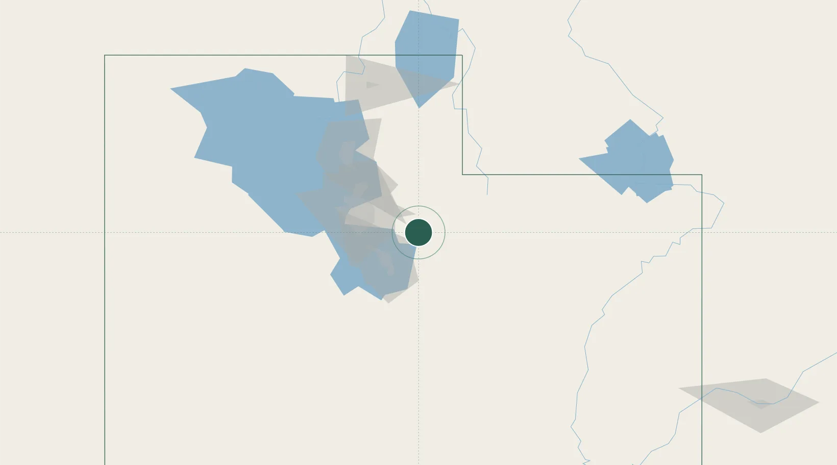
Heber City
40.5167°, -111.4167°
9,198
Population
2
Transport functions
Transport Functions
Road
Multimodal
Hub Profile
Place type
Populated place
Region
Utah
Population
9,198
Time zone
America/Denver
Elevation
1,707 m
Location
Nearby Logistics Neighbours
Cities
- 1Park City14 km
- 2Cedar Hills31 km
- 3Vineyard36 km
- 4Draper40 km
- 5South Jordan42 km
Ports
- 1Sacramento890 km
- 2Stockton897 km
- 3Walnut Grove904 km
- 4Courtland904 km
- 5Isleton913 km
Airports
Trade Zones
- 1FTZ No. 030 Salt Lake City56 km
- 2FTZ No. 298 Jefferson County539 km
- 3FTZ No. 123 Denver553 km
- 4FTZ No. 280 Ada and Canyon Counties572 km
- 5FTZ No. 112 Colorado Springs595 km
DatabookThe Record of Consolidated Knowledge
United States beyond logistics?