Transport Functions
Rail
Road
Multimodal
Hub Profile
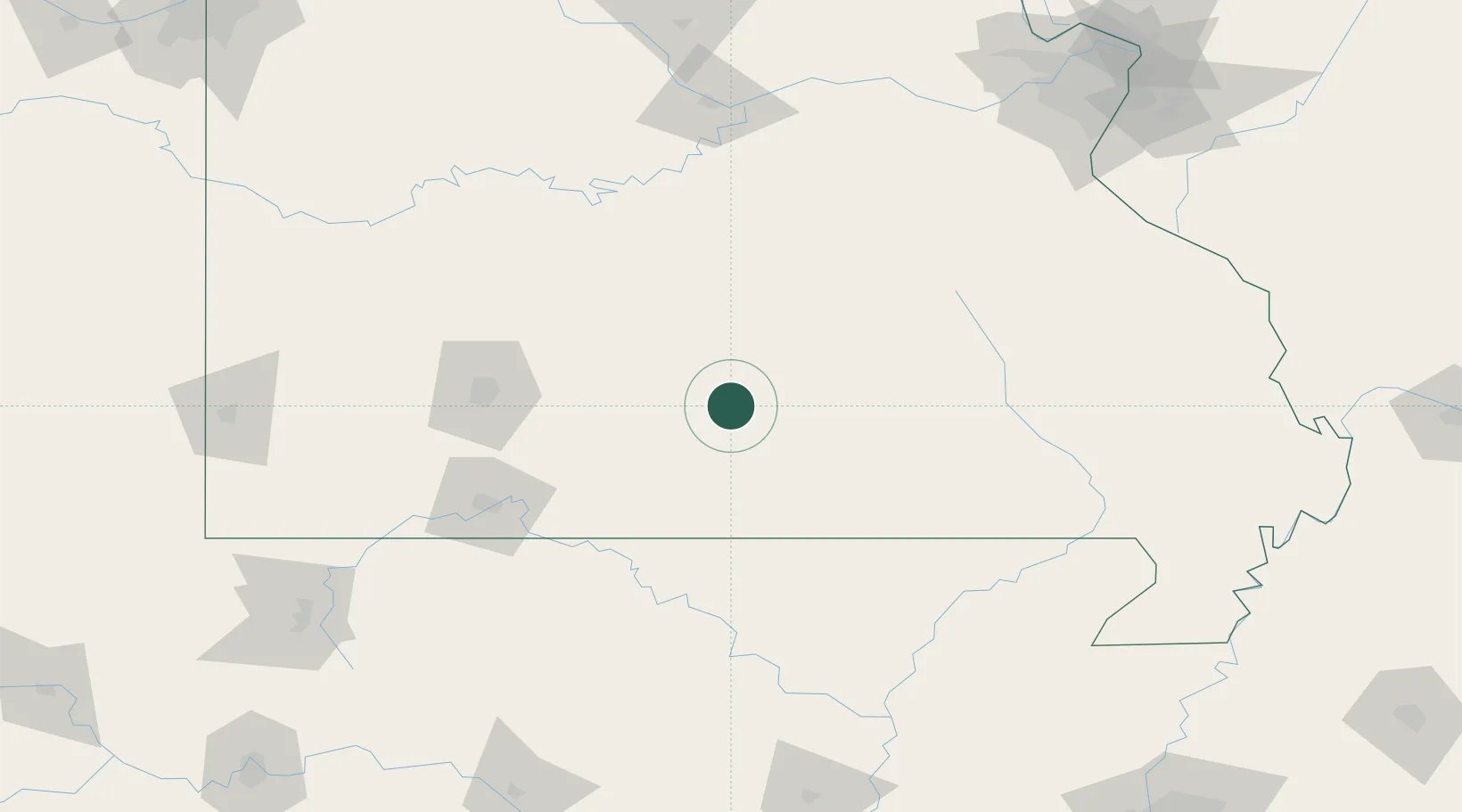
Place type
Populated place
Region
Missouri
Population
2,130
Time zone
America/Chicago
Elevation
391 m
Location
Nearby Logistics Neighbours
Cities
- 1Willow Springs20 km
- 2Pomona34 km
- 3Mansfield43 km
- 4Ava53 km
- 5Tecumseh64 km
Ports
- 1Port Of Memphis288 km
- 2Indiana Harbor644 km
- 3Gary645 km
- 4Calumet Harbor645 km
- 5Chicago654 km
Airports
Trade Zones
- 1FTZ No. 225 Springfield94 km
- 2FTZ No. 102 St. Louis County208 km
- 3FTZ No. 031 Granite City244 km
- 4FTZ No. 283 West Tennessee266 km
- 5FTZ No. 014 Little Rock269 km
DatabookThe Record of Consolidated Knowledge
United States beyond logistics?