UN/LOCODE hub · United States
USAIJ
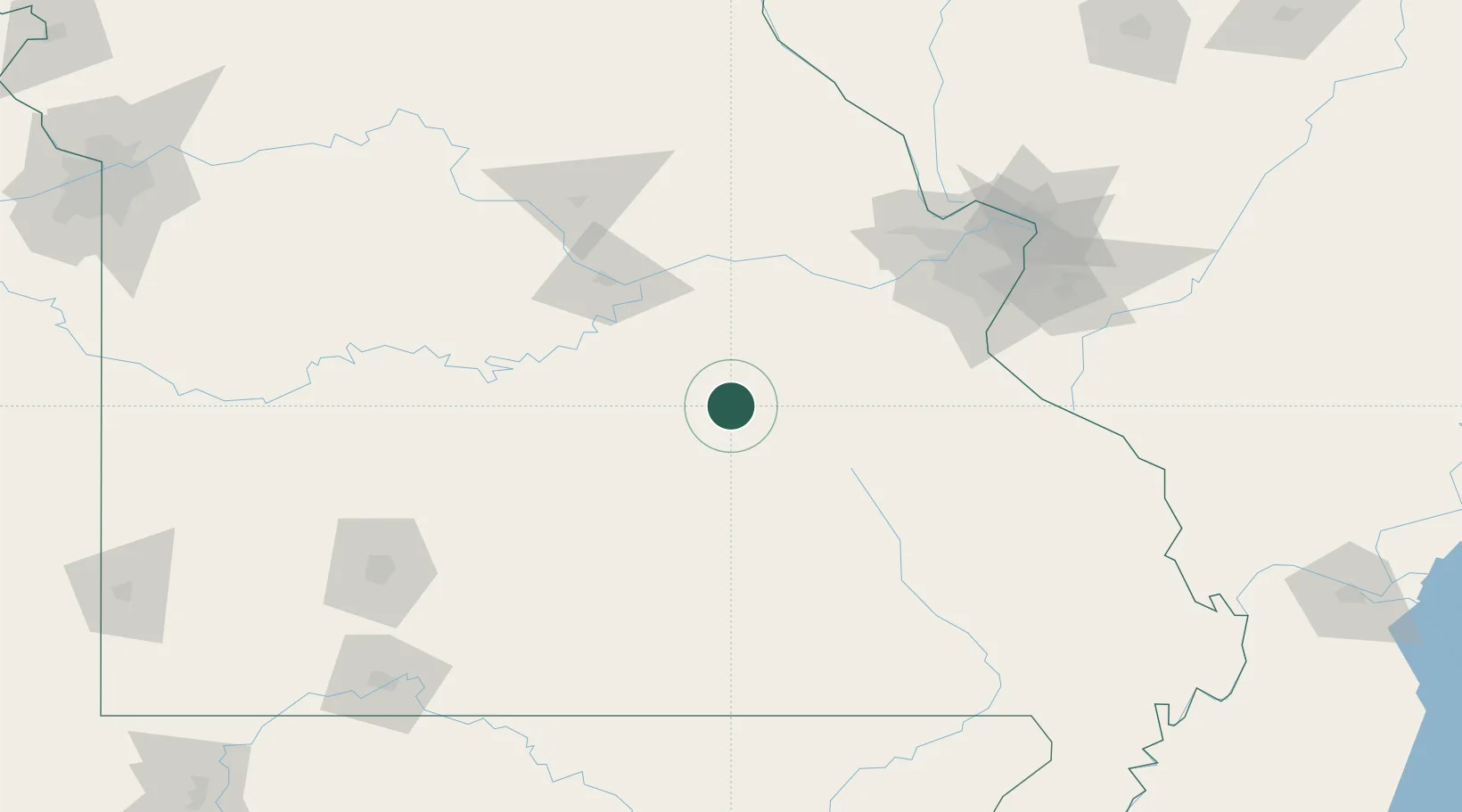
Saint James
37.9833°, -91.6000°
4,216
Population
2
Transport functions
Transport Functions
Rail
Road
Hub Profile
Place type
Populated place
Region
Missouri
Population
4,216
Time zone
America/Chicago
Elevation
333 m
Location
Nearby Logistics Neighbours
Ports
- 1Port Of Memphis349 km
- 2Indiana Harbor542 km
- 3Calumet Harbor543 km
- 4Gary544 km
- 5Chicago552 km
Airports
Trade Zones
- 1FTZ No. 102 St. Louis County107 km
- 2FTZ No. 031 Granite City148 km
- 3FTZ No. 225 Springfield162 km
- 4FTZ No. 294 Western Kentucky285 km
- 5FTZ No. 283 West Tennessee302 km
DatabookThe Record of Consolidated Knowledge
United States beyond logistics?