UN/LOCODE hub · United States
USZA3

Bay Point

38.0167°, -121.9500°
21,534
Population
1
Transport functions

Transport Functions

Multimodal
UN/LOCODE

Hub Profile

Place type
Populated place
GeoNames
Region
California
GeoNames
Population
21,534
GeoNames
Time zone
America/Los_Angeles
GeoNames
Elevation
27 m
GeoNames

Location

Location of USZA3
Natural Earth 10m (public domain) · California · USZA3 · 38.02, -121.95GoogleOSMYandex

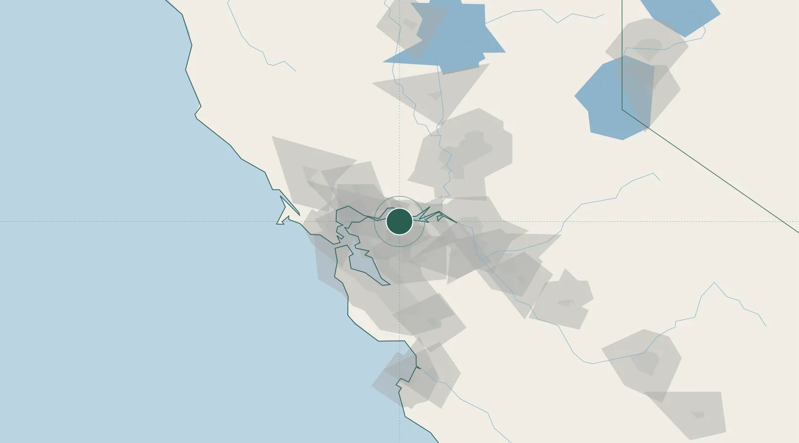
Nearby Logistics Neighbours

Cities
  1. 1Port Chicago7 km
  2. 2Clayton9 km
  3. 3Pacheco11 km
  4. 4Benicia18 km
  5. 5Oleum25 km
Nearest neighbours — logibook spatial index (haversine) over the source coordinates
Ports
  1. 1Pittsburg6 km
  2. 2Antioch13 km
  3. 3Martinez16 km
  4. 4Benicia18 km
  5. 5Port Costa21 km
Nearest neighbours — logibook spatial index (haversine) over the source coordinates
Airports
  1. 1Buchanan Field10 km
  2. 2Travis Air Force Base27 km
  3. 3San Francisco Bay Oakland International Airport41 km
  4. 4San Francisco International Airport58 km
  5. 5San Carlos Airport62 km
Nearest neighbours — logibook spatial index (haversine) over the source coordinates
Trade Zones
  1. 1FTZ No. 056 Oakland37 km
  2. 2FTZ No. 003 San Francisco46 km
  3. 3FTZ No. 231 Stockton55 km
  4. 4FTZ No. 143 West Sacramento73 km
  5. 5FTZ No. 018 San Jose76 km
Nearest neighbours — logibook spatial index (haversine) over the source coordinates
DatabookThe Record of Consolidated Knowledge
United States beyond logistics?
Browse databook

All Sources

LocationsUN/LOCODE
UN/LOCODE — free
LocationsGeoNames
CC BY 4.0
Portsthe NGA World Port Index
Public domain (US gov)
AirportsOurAirports
Public domain
Trade Zonesthe World Bank SEZ database
CC BY 4.0
Trade ZonesOpen Zone Map
CC BY
← United States locations