UN/LOCODE hub · United States
USPZH

Port Chicago

38.0500°, -122.0167°
1
Transport functions

Transport Functions

Port
UN/LOCODE

Hub Profile

Region
CA
GeoNames

Location

Location of USPZH
Natural Earth 10m (public domain) · CA · USPZH · 38.05, -122.02GoogleOSMYandex

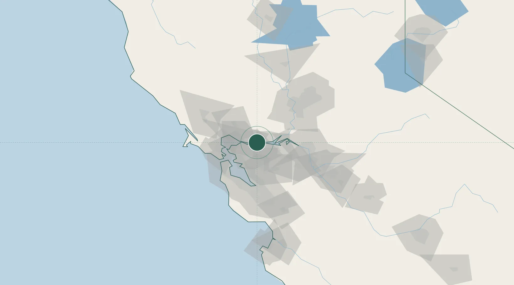
Nearby Logistics Neighbours

Cities
  1. 1Bay Point7 km
  2. 2Pacheco9 km
  3. 3Benicia12 km
  4. 4Clayton15 km
  5. 5Oleum19 km
Nearest neighbours — logibook spatial index (haversine) over the source coordinates
Ports
  1. 1Martinez10 km
  2. 2Benicia12 km
  3. 3Pittsburg12 km
  4. 4Port Costa15 km
  5. 5Crockett18 km
Nearest neighbours — logibook spatial index (haversine) over the source coordinates
Airports
  1. 1Buchanan Field8 km
  2. 2Travis Air Force Base25 km
  3. 3San Francisco Bay Oakland International Airport41 km
  4. 4San Francisco International Airport57 km
  5. 5San Carlos Airport63 km
Nearest neighbours — logibook spatial index (haversine) over the source coordinates
Trade Zones
  1. 1FTZ No. 056 Oakland35 km
  2. 2FTZ No. 003 San Francisco43 km
  3. 3FTZ No. 231 Stockton62 km
  4. 4FTZ No. 143 West Sacramento73 km
  5. 5FTZ No. 018 San Jose80 km
Nearest neighbours — logibook spatial index (haversine) over the source coordinates
DatabookThe Record of Consolidated Knowledge
United States beyond logistics?
Browse databook

All Sources

LocationsUN/LOCODE
UN/LOCODE — free
Portsthe NGA World Port Index
Public domain (US gov)
AirportsOurAirports
Public domain
Trade Zonesthe World Bank SEZ database
CC BY 4.0
Trade ZonesOpen Zone Map
CC BY
← United States locations