Seaport · United States

BeniciaUSBNC

38.0500°, -122.1500°
9.4 m
Channel depth
Benicia is also a UN/LOCODE logistics hub →

Channel & Berth Profile

SEA LEVEL (CD)CHANNEL BEDChannel · 9.4 mCargo pier · 9.4 m
NGA World Port Index

Pilotage, Tugs & Services

Pilotage compulsoryYES
Pilotage availableYES
Tug assistanceYES
Salvage tugsNO
Shore powerYES
Potable waterYES
Diesel bunkersYES
MedicalYES
Garbage disposalYES
NGA World Port Index

Facilities & Capabilities

Container
Ro-Ro
Liquid bulk
Dry bulk
Oil terminal
Break bulk
Dry dockNO
Repairs
BunkeringYES
Rail linkYES
Dangerous cargo
ISPS security
NGA World Port Index

Harbour Specifications

Harbour size
Very Small
NGA World Port Index
Harbour type
Coastal (Natural)
NGA World Port Index
Shelter
Excellent
NGA World Port Index
Water body
North Pacific Ocean
NGA World Port Index
Tidal range
1.2 m
NGA World Port Index
Overhead limit
Yes
NGA World Port Index
Pilotage
Yes
NGA World Port Index

Location

Location of USBNC
Natural Earth 10m (public domain) · California · USBNC · 38.05, -122.15GoogleOSMYandex

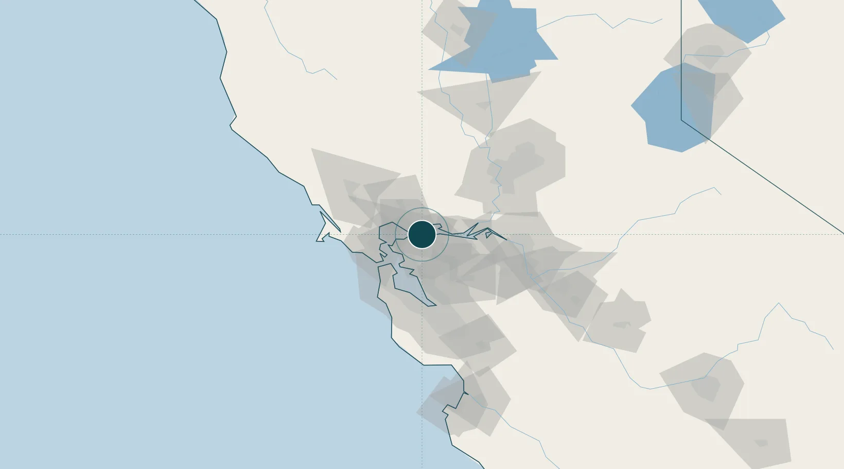
Nearby Logistics Neighbours

Ports
  1. 1Martinez2 km
  2. 2Port Costa3 km
  3. 3Crockett6 km
  4. 4South Vallejo10 km
  5. 5Oleum10 km
Nearest neighbours — logibook spatial index (haversine) over the source coordinates
Cities
  1. 1Oleum8 km
  2. 2Rodeo10 km
  3. 3Springtown10 km
  4. 4Pacheco10 km
  5. 5Hercules12 km
Nearest neighbours — logibook spatial index (haversine) over the source coordinates
Airports
  1. 1Buchanan Field11 km
  2. 2Travis Air Force Base31 km
  3. 3San Francisco Bay Oakland International Airport37 km
  4. 4San Francisco International Airport52 km
  5. 5San Carlos Airport60 km
Nearest neighbours — logibook spatial index (haversine) over the source coordinates
Trade Zones
  1. 1FTZ No. 056 Oakland29 km
  2. 2FTZ No. 003 San Francisco35 km
  3. 3FTZ No. 231 Stockton73 km
  4. 4FTZ No. 143 West Sacramento81 km
  5. 5FTZ No. 018 San Jose83 km
Nearest neighbours — logibook spatial index (haversine) over the source coordinates
DatabookThe Record of Consolidated Knowledge
United States beyond logistics?
Browse databook

All Sources

Portsthe NGA World Port Index
Public domain (US gov)
AirportsOurAirports
Public domain
LocationsUN/LOCODE
UN/LOCODE — free
Trade Zonesthe World Bank SEZ database
CC BY 4.0
Trade ZonesOpen Zone Map
CC BY
← United States ports