UN/LOCODE hub · United States
USRKA
Rockmart
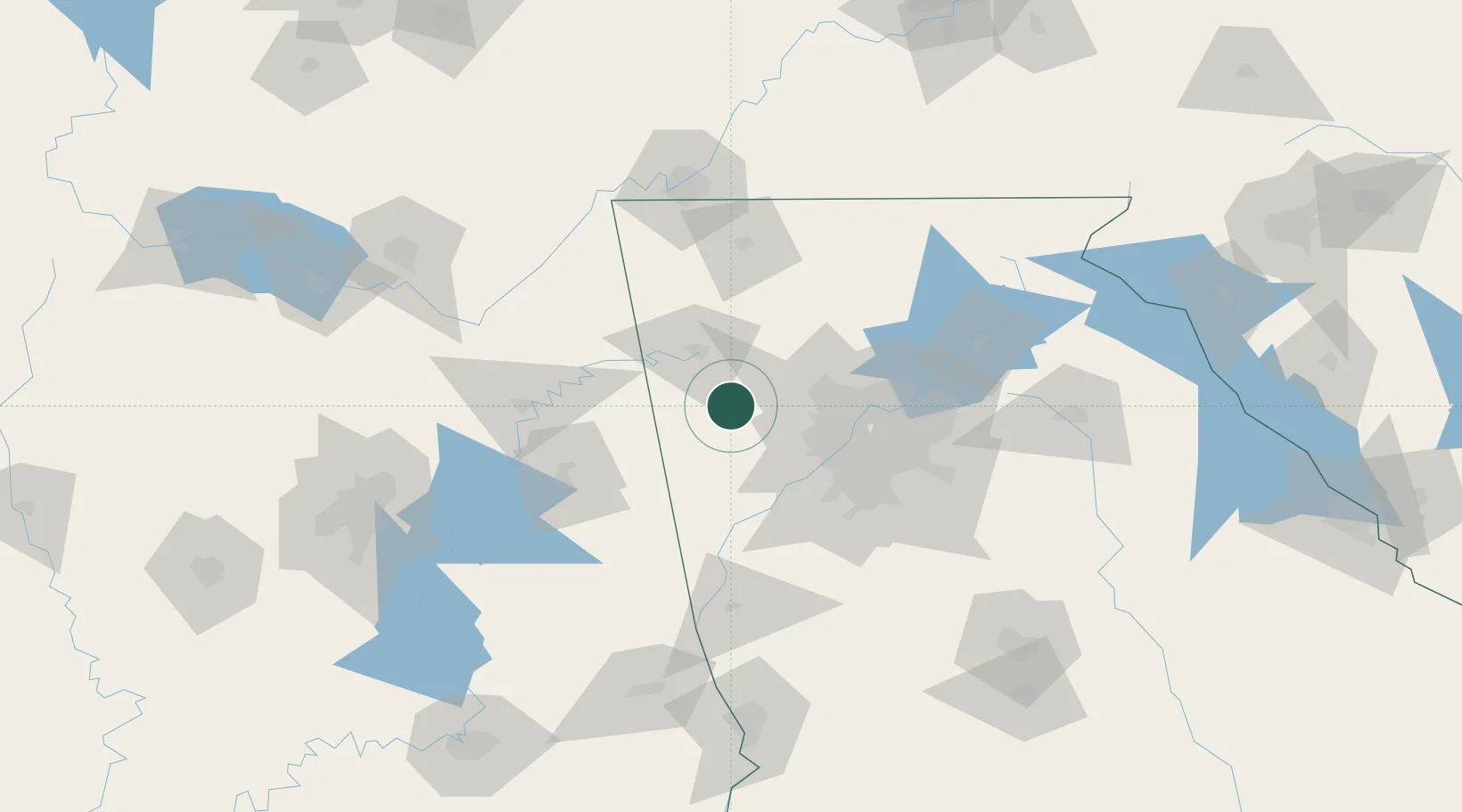
34.0000°, -85.0333°
4,300
Population
3
Transport functions
Transport Functions
Rail
Road
Multimodal
Hub Profile
Place type
Populated place
Region
Georgia
Population
4,300
Time zone
America/New_York
Elevation
238 m
Location
Nearby Logistics Neighbours
Cities
- 1Taylorsville10 km
- 2Glenwood19 km
- 3Cave Spring30 km
- 4Bremen33 km
- 5Tallapoosa36 km
Ports
- 1Savannah425 km
- 2Panama City434 km
- 3Beaufort442 km
- 4Port Royal444 km
- 5Darien446 km
Airports
Trade Zones
- 1FTZ No. 026 Atlanta65 km
- 2FTZ No. 134 Chattanooga126 km
- 3FTZ No. 098 Birmingham173 km
- 4FTZ No. 083 Huntsville175 km
- 5FTZ No. 270 Lawrence County187 km
DatabookThe Record of Consolidated Knowledge
United States beyond logistics?