Transport Functions
Rail
Road
Multimodal
Hub Profile
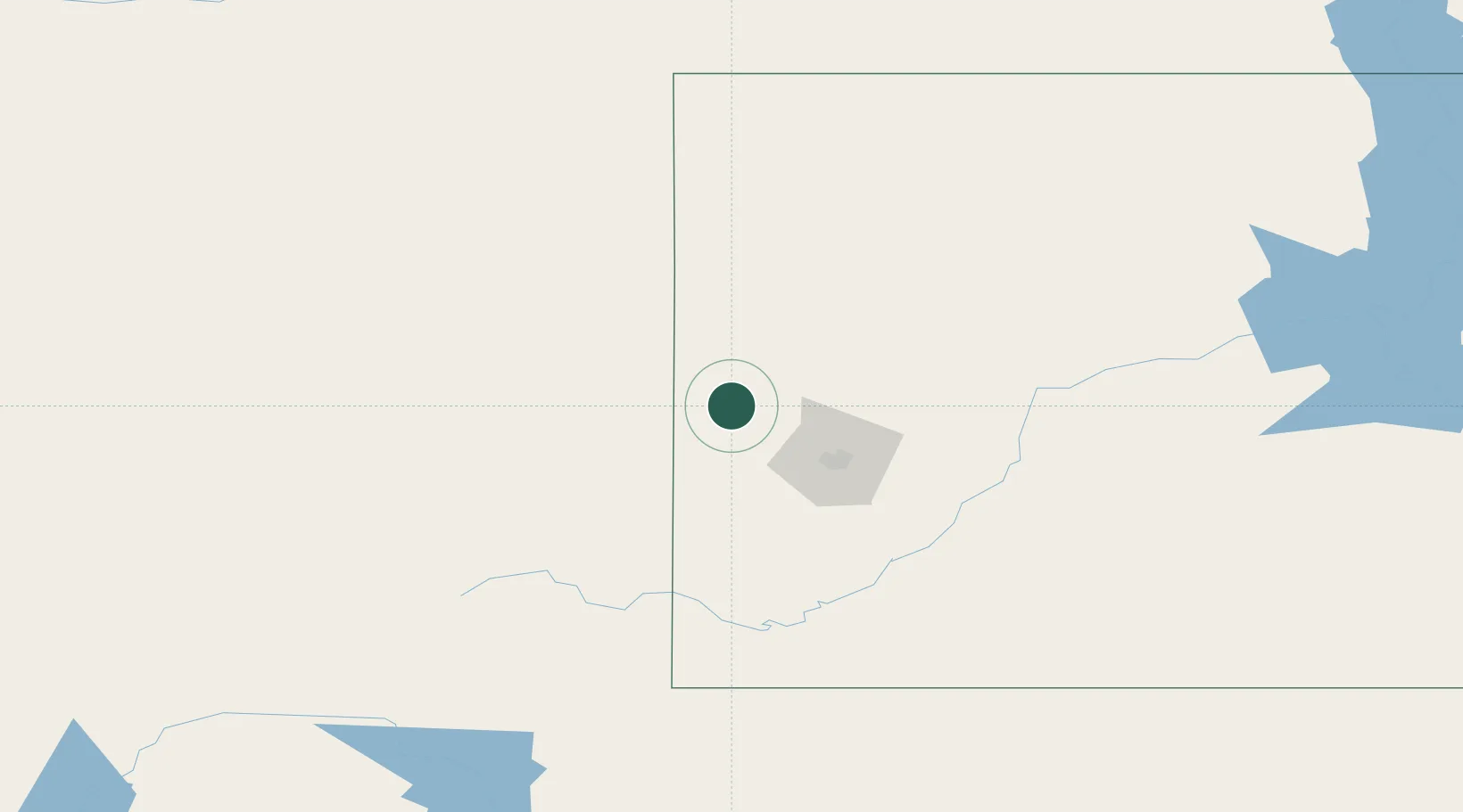
Place type
Populated place
Region
South Dakota
Population
2,999
Time zone
America/Denver
Elevation
1,589 m
Location
Nearby Logistics Neighbours
Cities
- 1Deadwood3 km
- 2Vale42 km
- 3Hill City49 km
- 4Ellsworth Air Force Base60 km
- 5Custer67 km
Ports
- 1Duluth946 km
- 2Superior948 km
- 3Two Harbors986 km
- 4Washburn1035 km
- 5Ashland1035 km
Airports
Trade Zones
- 1FTZ No. 123 Denver522 km
- 2FTZ No. 298 Jefferson County525 km
- 3FTZ No. 220 Sioux Falls565 km
- 4FTZ No. 293 Limon566 km
- 5FTZ No. 267 Fargo597 km
DatabookThe Record of Consolidated Knowledge
United States beyond logistics?