UN/LOCODE hub · United States
USDDW
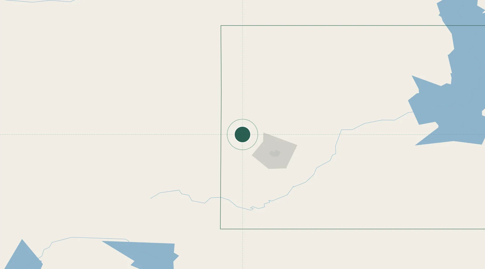
Deadwood
44.3667°, -103.7333°
1,258
Population
2
Transport functions
Transport Functions
Road
Multimodal
Hub Profile
Place type
Provincial seat
Region
South Dakota
Population
1,258
Time zone
America/Denver
Elevation
1,381 m
Location
Nearby Logistics Neighbours
Cities
- 1Lead3 km
- 2Vale38 km
- 3Hill City50 km
- 4Ellsworth Air Force Base58 km
- 5Custer68 km
Ports
- 1Duluth943 km
- 2Superior945 km
- 3Two Harbors983 km
- 4Washburn1032 km
- 5Ashland1032 km
Airports
Trade Zones
- 1FTZ No. 123 Denver525 km
- 2FTZ No. 298 Jefferson County528 km
- 3FTZ No. 220 Sioux Falls563 km
- 4FTZ No. 293 Limon568 km
- 5FTZ No. 267 Fargo594 km
DatabookThe Record of Consolidated Knowledge
United States beyond logistics?