UN/LOCODE hub · United States
USEHB
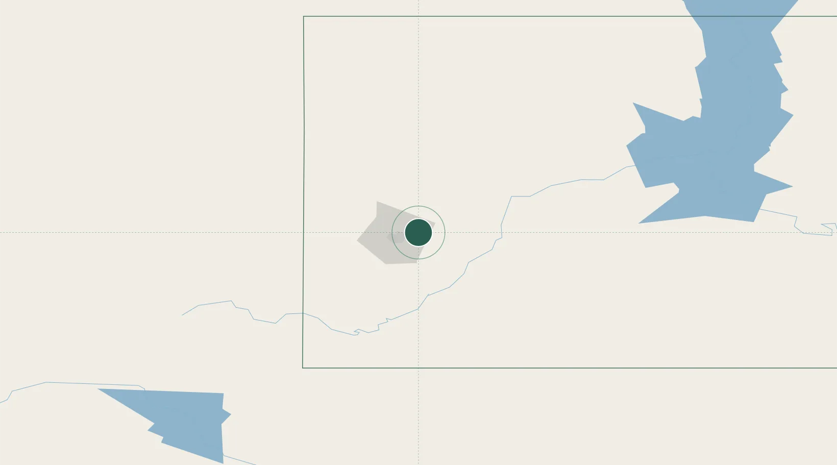
Ellsworth Air Force Base
44.1333°, -103.0833°
8,000
Population
2
Transport functions
Transport Functions
Road
Multimodal
Hub Profile
Place type
Populated place
Region
South Dakota
Population
8,000
Time zone
America/Denver
Elevation
972 m
Location
Nearby Logistics Neighbours
Ports
- 1Duluth905 km
- 2Superior906 km
- 3Two Harbors945 km
- 4Ashland992 km
- 5Washburn992 km
Airports
Trade Zones
- 1FTZ No. 220 Sioux Falls508 km
- 2FTZ No. 123 Denver513 km
- 3FTZ No. 298 Jefferson County518 km
- 4FTZ No. 293 Limon544 km
- 5FTZ No. 267 Fargo564 km
DatabookThe Record of Consolidated Knowledge
United States beyond logistics?