UN/LOCODE hub · United States
USHCI
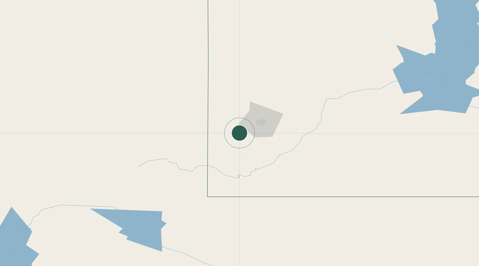
Hill City
43.9333°, -103.5833°
995
Population
3
Transport functions
Transport Functions
Rail
Road
Multimodal
Hub Profile
Place type
Populated place
Region
South Dakota
Population
995
Time zone
America/Denver
Elevation
1,519 m
Location
Nearby Logistics Neighbours
Cities
- 1Custer19 km
- 2Ellsworth Air Force Base46 km
- 3Lead49 km
- 4Deadwood50 km
- 5Vale77 km
Ports
- 1Duluth950 km
- 2Superior952 km
- 3Two Harbors990 km
- 4Ashland1037 km
- 5Washburn1037 km
Airports
Trade Zones
- 1FTZ No. 123 Denver481 km
- 2FTZ No. 298 Jefferson County484 km
- 3FTZ No. 293 Limon520 km
- 4FTZ No. 220 Sioux Falls547 km
- 5FTZ No. 112 Colorado Springs577 km
DatabookThe Record of Consolidated Knowledge
United States beyond logistics?