Transport Functions
Road
Multimodal
Hub Profile
Place type
Populated place
Region
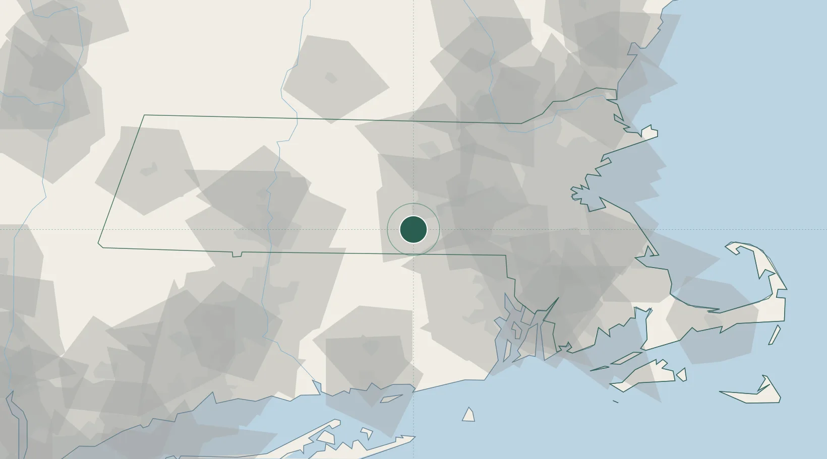
Massachusetts
Time zone
America/New_York
Elevation
160 m
Location
Nearby Logistics Neighbours
Cities
- 1Rochdale6 km
- 2Worcester13 km
- 3Manchaug13 km
- 4Southbridge17 km
- 5North Grosvenor Dale19 km
Ports
- 1Providence55 km
- 2Davisville Depot71 km
- 3Boston71 km
- 4Norwich73 km
- 5Bristol73 km
Airports
Trade Zones
DatabookThe Record of Consolidated Knowledge
United States beyond logistics?