UN/LOCODE hub · United States
USWBM
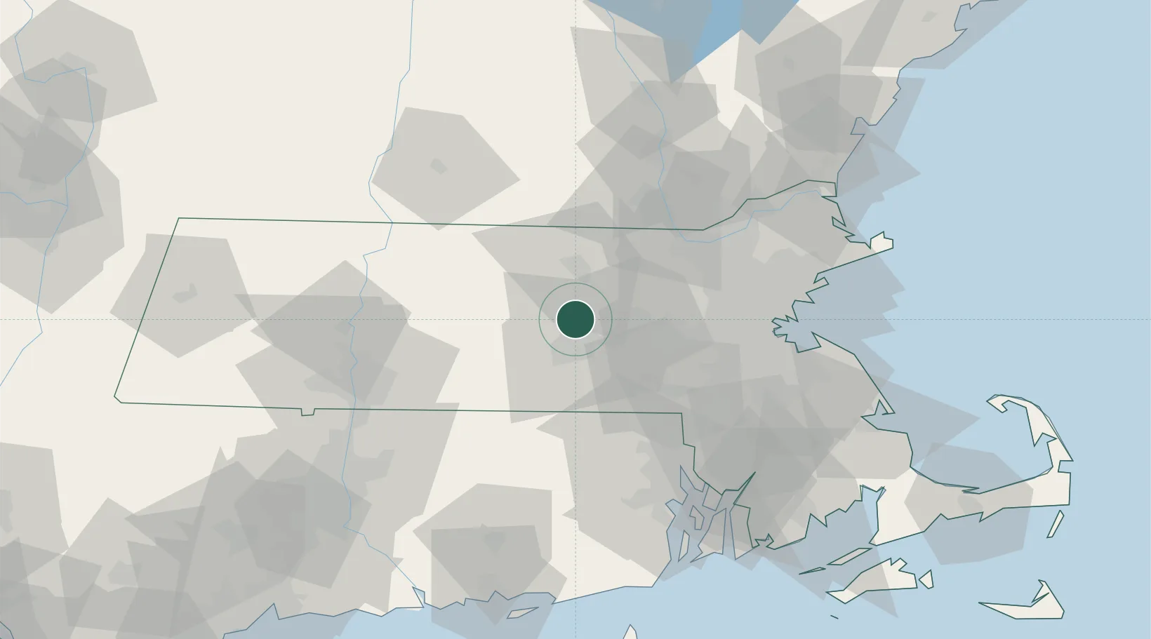
West Boylston
42.3667°, -71.7833°
7,612
Population
4
Transport functions
Transport Functions
Port
Rail
Road
Multimodal
Hub Profile
Place type
Populated place
Region
Massachusetts
Population
7,612
Time zone
America/New_York
Elevation
154 m
Location
Nearby Logistics Neighbours
Cities
- 1Boylston7 km
- 2Northborough12 km
- 3Worcester13 km
- 4Lancaster13 km
- 5Marlborough, Middlesex19 km
Ports
- 1Boston60 km
- 2Quincy68 km
- 3Lynn69 km
- 4Providence71 km
- 5Salem76 km
Airports
Trade Zones
DatabookThe Record of Consolidated Knowledge
United States beyond logistics?