UN/LOCODE hub · United States
USORH
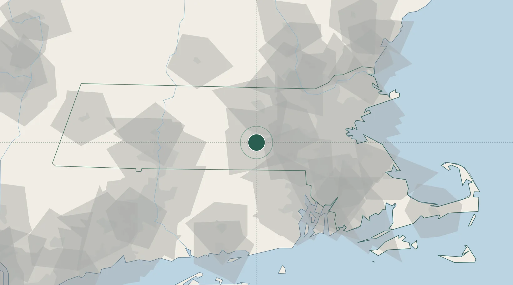
Worcester
42.2517°, -71.7962°
206,518
Population
2
Transport functions
Transport Functions
Port
Airport
Hub Profile
Place type
Provincial seat
Region
Massachusetts
Population
206,518
Time zone
America/New_York
Elevation
147 m
Logistics facilities
7
Location
Nearby Logistics Neighbours
Cities
- 1Rochdale10 km
- 2North Oxford13 km
- 3West Boylston13 km
- 4Northborough14 km
- 5Boylston17 km
Ports
- 1Providence60 km
- 2Boston62 km
- 3Quincy68 km
- 4Lynn73 km
- 5Davisville Depot78 km
Airports
Trade Zones
DatabookThe Record of Consolidated Knowledge
United States beyond logistics?