Transport Functions
Rail
Road
Hub Profile
Place type
Populated place
Region
Saskatchewan
Population
2,389
Time zone
America/Regina
Elevation
743 m
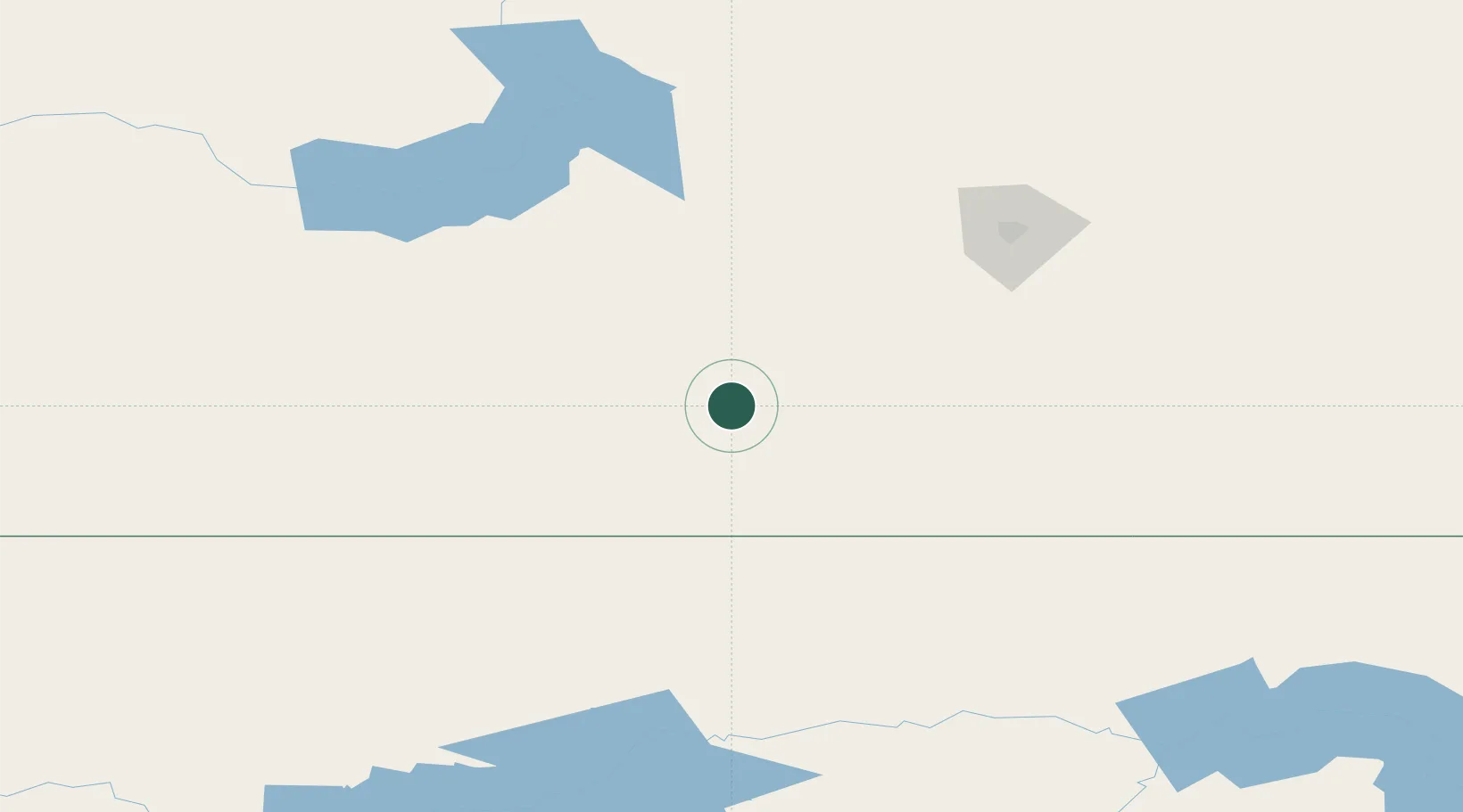
Location
Nearby Logistics Neighbours
Cities
- 1Gravelbourg50 km
- 2Avonlea78 km
- 3Hodgeville89 km
- 4Pangman95 km
- 5Wilcox105 km
Ports
- 1Duluth1074 km
- 2Superior1078 km
- 3Two Harbors1096 km
- 4Bayfield1163 km
- 5Washburn1164 km
Airports
Trade Zones
- 1Global Transportation Hub Authority127 km
- 2FTZ No. 088 Great Falls466 km
- 3FTZ No. 187 Toole County474 km
- 4Calgary Region Inland Port596 km
- 5FTZ No. 275 Lansing633 km
DatabookThe Record of Consolidated Knowledge
Canada beyond logistics?