Transport Functions
Rail
Road
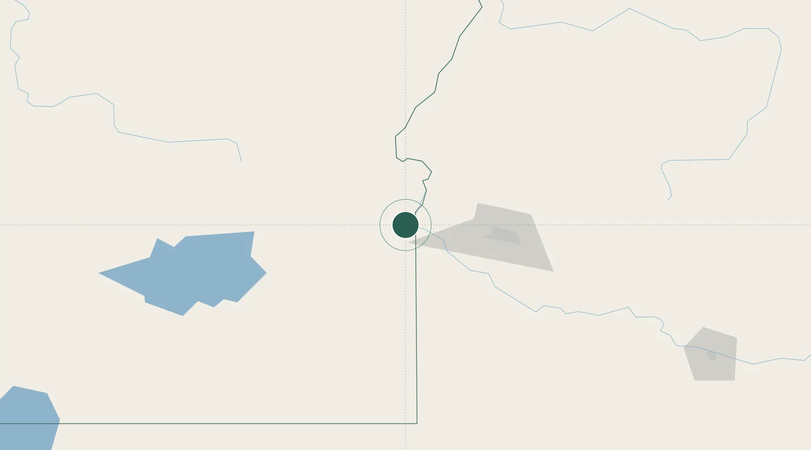
Hub Profile
Place type
Provincial seat
Region
Idaho
Population
1,689
Time zone
America/Boise
Elevation
1,862 m
Location
Nearby Logistics Neighbours
Cities
- 1Parma17 km
- 2Nyssa21 km
- 3Vale29 km
- 4Sunnyslope31 km
- 5New Plymouth37 km
Ports
- 1The Dalles384 km
- 2Washougal463 km
- 3Camas467 km
- 4Portland483 km
- 5Vancouver489 km
Airports
Trade Zones
- 1FTZ No. 280 Ada and Canyon Counties25 km
- 2FTZ No. 274 Butte-Silver Bow411 km
- 3FTZ No. 203 Moses Lake417 km
- 4FTZ No. 224 Spokane441 km
- 5FTZ No. 275 Lansing442 km
DatabookThe Record of Consolidated Knowledge
United States beyond logistics?