UN/LOCODE hub · United States
USHLF
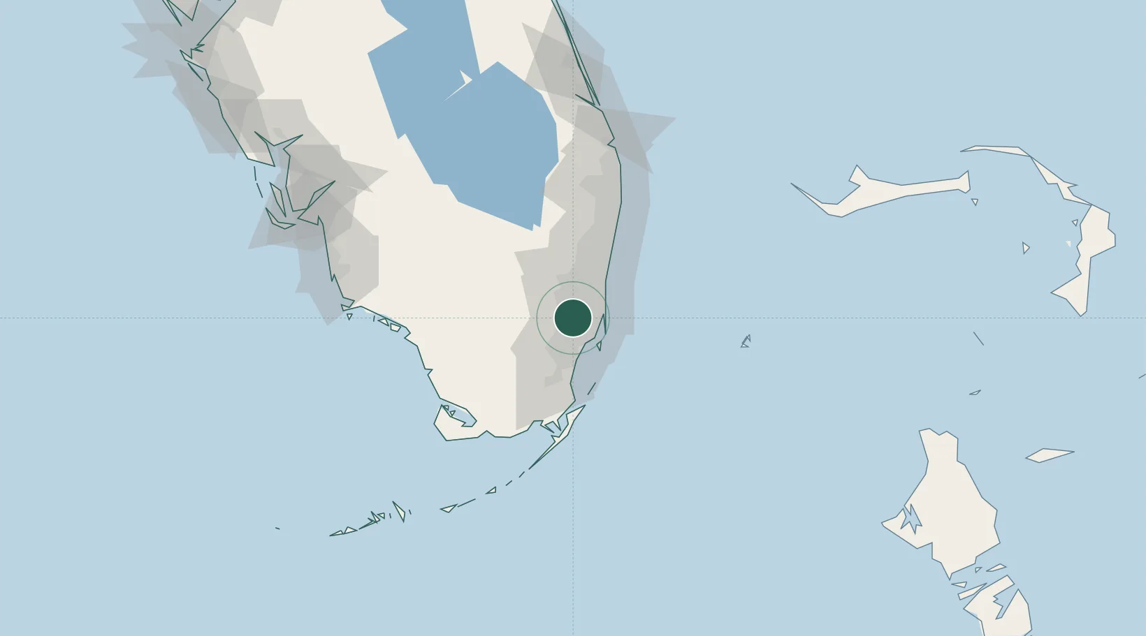
Hialeah
25.8757°, -80.3277°
237,069
Population
2
Transport functions
Transport Functions
Rail
Road
Hub Profile
Place type
Populated place
Region
Florida
Population
237,069
Time zone
America/New_York
Elevation
2 m
Logistics facilities
3
Location
Nearby Logistics Neighbours
Cities
- 1Hialeah Gardens2 km
- 2Miami7 km
- 3Carol City9 km
- 4North Miami15 km
- 5Miami Shores15 km
Ports
- 1Miami18 km
- 2Port Everglades33 km
- 3Palm Beach103 km
- 4Freeport170 km
- 5Fort Pierce177 km
Airports
Trade Zones
DatabookThe Record of Consolidated Knowledge
United States beyond logistics?