UN/LOCODE hub · United States
USJLY
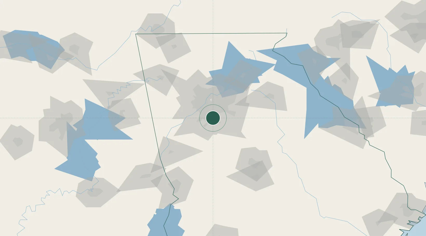
Lake City
33.6000°, -84.3333°
2,727
Population
2
Transport functions
Transport Functions
Rail
Road
Hub Profile
Place type
Populated place
Region
Georgia
Population
2,727
Time zone
America/New_York
Elevation
295 m
Location
Nearby Logistics Neighbours
Ports
- 1Savannah347 km
- 2Beaufort366 km
- 3Port Royal367 km
- 4Darien368 km
- 5Brunswick381 km
Airports
Trade Zones
- 1FTZ No. 026 Atlanta19 km
- 2FTZ No. 134 Chattanooga192 km
- 3FTZ No. 222 Montgomery229 km
- 4FTZ No. 098 Birmingham230 km
- 5FTZ No. 038 Spartanburg County239 km
DatabookThe Record of Consolidated Knowledge
United States beyond logistics?