Transport Functions
Rail
Road
Hub Profile
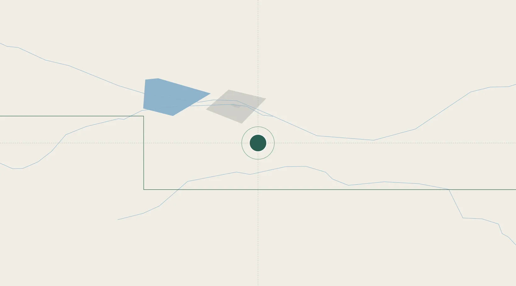
Place type
Populated place
Region
Nebraska
Population
897
Time zone
America/Chicago
Elevation
784 m
Location
Nearby Logistics Neighbours
Ports
- 1Superior958 km
- 2Duluth959 km
- 3Two Harbors1003 km
- 4Ashland1019 km
- 5Washburn1023 km
Airports
Trade Zones
- 1FTZ No. 059 Lincoln310 km
- 2FTZ No. 293 Limon312 km
- 3FTZ No. 133 Quad-Cities, Iowa Illinois358 km
- 4FTZ No. 123 Denver394 km
- 5FTZ No. 161 Sedgwick County403 km
DatabookThe Record of Consolidated Knowledge
United States beyond logistics?