Transport Functions
Port
Road
Multimodal
Hub Profile
Place type
Populated place
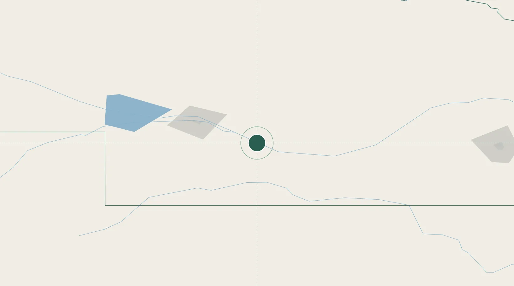
Region
Nebraska
Population
3,863
Time zone
America/Chicago
Elevation
759 m
Location
Nearby Logistics Neighbours
Ports
- 1Superior911 km
- 2Duluth912 km
- 3Two Harbors956 km
- 4Ashland971 km
- 5Washburn975 km
Airports
Trade Zones
- 1FTZ No. 059 Lincoln265 km
- 2FTZ No. 133 Quad-Cities, Iowa Illinois319 km
- 3FTZ No. 293 Limon361 km
- 4FTZ No. 220 Sioux Falls399 km
- 5FTZ No. 161 Sedgwick County400 km
DatabookThe Record of Consolidated Knowledge
United States beyond logistics?