UN/LOCODE hub · United States
USEW9

Elwood

40.5833°, -99.8500°
682
Population
1
Transport functions

Transport Functions

Multimodal
UN/LOCODE

Hub Profile

Place type
Provincial seat
GeoNames
Region
Nebraska
GeoNames
Population
682
GeoNames
Time zone
America/Chicago
GeoNames
Elevation
813 m
GeoNames

Location

Location of USEW9
Natural Earth 10m (public domain) · Nebraska · USEW9 · 40.58, -99.85GoogleOSMYandex

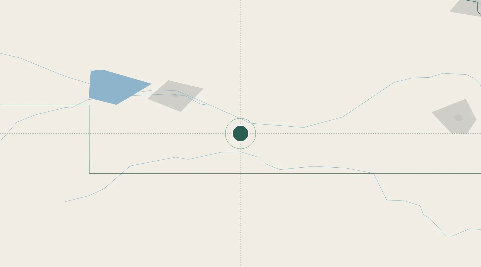
Nearby Logistics Neighbours

Cities
  1. 1Cozad32 km
  2. 2Odessa52 km
  3. 3Curtis55 km
  4. 4Minden77 km
  5. 5Phillipsburg103 km
Nearest neighbours — logibook spatial index (haversine) over the source coordinates
Ports
  1. 1Superior926 km
  2. 2Duluth927 km
  3. 3Two Harbors971 km
  4. 4Ashland984 km
  5. 5Washburn988 km
Nearest neighbours — logibook spatial index (haversine) over the source coordinates
Airports
  1. 1Kearney Regional Airport73 km
  2. 2McCook Ben Nelson Regional Airport76 km
  3. 3North Platte Regional Airport Lee Bird Field93 km
  4. 4Central Nebraska Regional Airport137 km
  5. 5Hays Regional Airport200 km
Nearest neighbours — logibook spatial index (haversine) over the source coordinates
Trade Zones
  1. 1FTZ No. 059 Lincoln256 km
  2. 2FTZ No. 133 Quad-Cities, Iowa Illinois303 km
  3. 3FTZ No. 293 Limon359 km
  4. 4FTZ No. 161 Sedgwick County368 km
  5. 5FTZ No. 220 Sioux Falls415 km
Nearest neighbours — logibook spatial index (haversine) over the source coordinates
DatabookThe Record of Consolidated Knowledge
United States beyond logistics?
Browse databook

All Sources

LocationsUN/LOCODE
UN/LOCODE — free
LocationsGeoNames
CC BY 4.0
Portsthe NGA World Port Index
Public domain (US gov)
AirportsOurAirports
Public domain
Trade Zonesthe World Bank SEZ database
CC BY 4.0
Trade ZonesOpen Zone Map
CC BY
← United States locations