UN/LOCODE hub · United States
USSA2
San Augustine
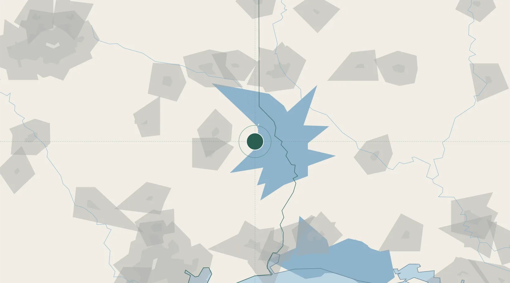
31.5167°, -94.1000°
2,009
Population
2
Transport functions
Transport Functions
Rail
Road
Hub Profile
Place type
Provincial seat
Region
Texas
Population
2,009
Time zone
America/Chicago
Elevation
113 m
Location
Nearby Logistics Neighbours
Ports
- 1Beaumont159 km
- 2Orange163 km
- 3Lake Charles166 km
- 4Port Neches169 km
- 5Port Arthur188 km
Airports
- 1Angelina County Airport69 km
- 2Polk Army Air Field101 km
- 3Beauregard Regional Airport105 km
- 4Shreveport Regional Airport107 km
- 5East Texas Regional Airport112 km
Trade Zones
- 1FTZ No. 297 Lufkin70 km
- 2FTZ No. 145 Shreveport106 km
- 3FTZ No. 146 Lawrence County106 km
- 4FTZ No. 234 Gregg County135 km
- 5FTZ No. 117 Orange156 km
DatabookThe Record of Consolidated Knowledge
United States beyond logistics?