Transport Functions
Rail
Road
Hub Profile
Place type
Populated place
Region
Arkansas
Population
2,680
Time zone
America/Chicago
Elevation
82 m
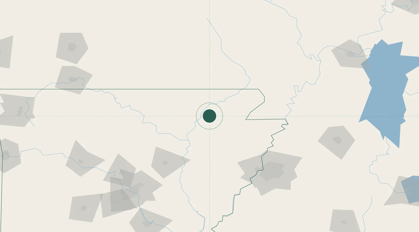
Location
Nearby Logistics Neighbours
Cities
- 1Bono21 km
- 2Knobel45 km
- 3Waldenburg56 km
- 4Marmaduke57 km
- 5Magness58 km
Ports
- 1Port Of Memphis132 km
- 2Baton Rouge623 km
- 3Madisonville633 km
- 4Slidell653 km
- 5Mobile653 km
Airports
Trade Zones
- 1FTZ No. 077 Memphis122 km
- 2FTZ No. 283 West Tennessee123 km
- 3FTZ No. 273 West Memphis124 km
- 4FTZ No. 223 Memphis129 km
- 5FTZ No. 262 Southaven150 km
DatabookThe Record of Consolidated Knowledge
United States beyond logistics?