UN/LOCODE hub · United States
USETD
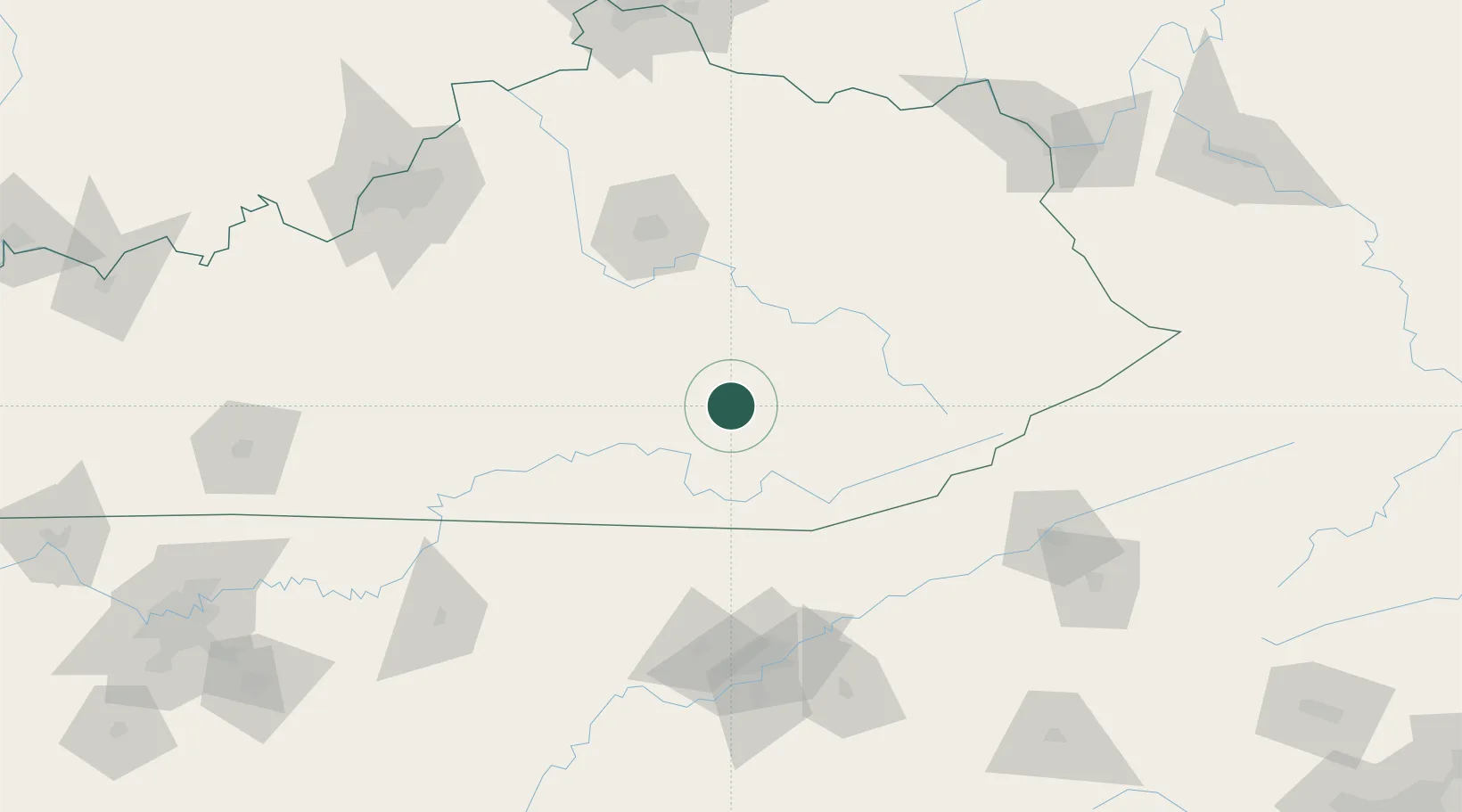
East Bernstadt
37.1833°, -84.1167°
716
Population
3
Transport functions
Transport Functions
Rail
Road
Multimodal
Hub Profile
Place type
Populated place
Region
Kentucky
Population
716
Time zone
America/New_York
Elevation
365 m
Location
Nearby Logistics Neighbours
Cities
- 1Gray30 km
- 2Manchester33 km
- 3Barbourville40 km
- 4Science Hill46 km
- 5Burnside48 km
Ports
- 1Huron488 km
- 2Sandusky490 km
- 3Port Clinton493 km
- 4Vermilion496 km
- 5Lorain504 km
Airports
Trade Zones
- 1FTZ No. 148 Knoxville133 km
- 2FTZ No. 204 Tri-Cities171 km
- 3FTZ No. 029 Louisville191 km
- 4FTZ No. 047 Boone County209 km
- 5FTZ No. 046 CIncinnati216 km
DatabookThe Record of Consolidated Knowledge
United States beyond logistics?