Medium airport · United States
London-Corbin Airport/Magee FieldKLOZ
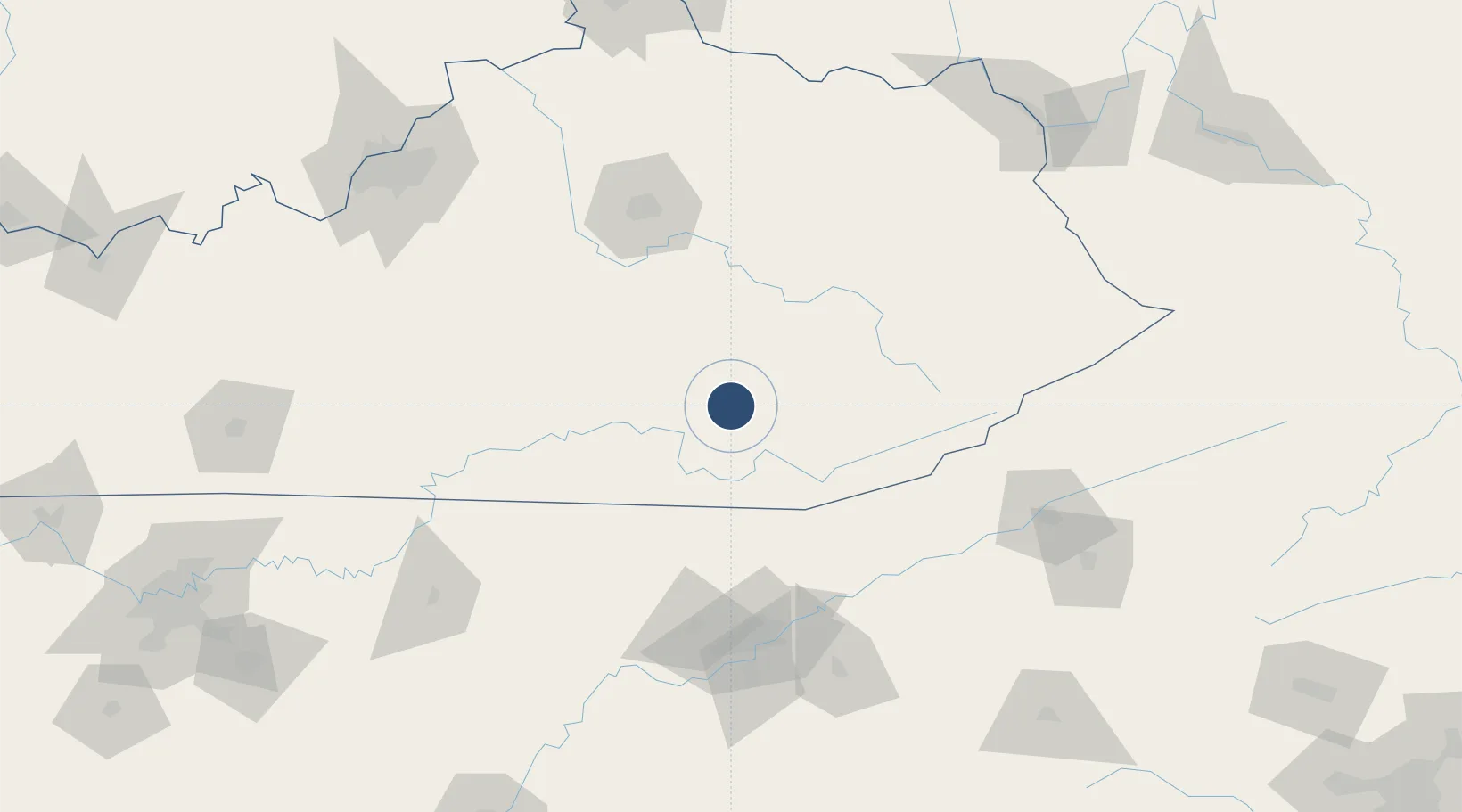
37.0822°, -84.0849°
5,750 ft
Longest runway
1
Runways
1,212 ft
Elevation
Runway & Layout

Radio Frequencies
ASOS
119.075 MHz
CNTR
121.325 MHz
INDIANAPOLIS CNTR
RDO
122.2 MHz
LOUISVILLE RDO
UNIC
123 MHz
CTAF/UNICOM
Navaids
LOZ VORTAC London 116.10 MHz
Runways · 1
| Runway | Dimensions | Surface | True heading | Lit |
|---|---|---|---|---|
| 06/24 | 5,750 × 150ft | Asphalt | 052° | ✓ |
Airport Specifications
IATA code
LOZ
ICAO code
KLOZ
Airport class
Medium airport
Scheduled service
No
Runway surface
Asphalt
Served city
London
Location
Nearby Logistics Neighbours
Airports
- 1Lake Cumberland Regional Airport47 km
- 2Central Kentucky Regional Airport65 km
- 3Julian Carroll Airport89 km
- 4Blue Grass Airport116 km
- 5McGhee Tyson Airport142 km
Cities
- 1East Bernstadt12 km
- 2Gray18 km
- 3Barbourville29 km
- 4Manchester31 km
- 5Burnside47 km
Ports
- 1Huron498 km
- 2Sandusky500 km
- 3Port Clinton503 km
- 4Vermilion506 km
- 5Lorain514 km
Trade Zones
- 1FTZ No. 148 Knoxville122 km
- 2FTZ No. 204 Tri-Cities163 km
- 3FTZ No. 029 Louisville200 km
- 4FTZ No. 047 Boone County221 km
- 5FTZ No. 046 CIncinnati228 km
DatabookThe Record of Consolidated Knowledge
United States beyond logistics?