Transport Functions
Port
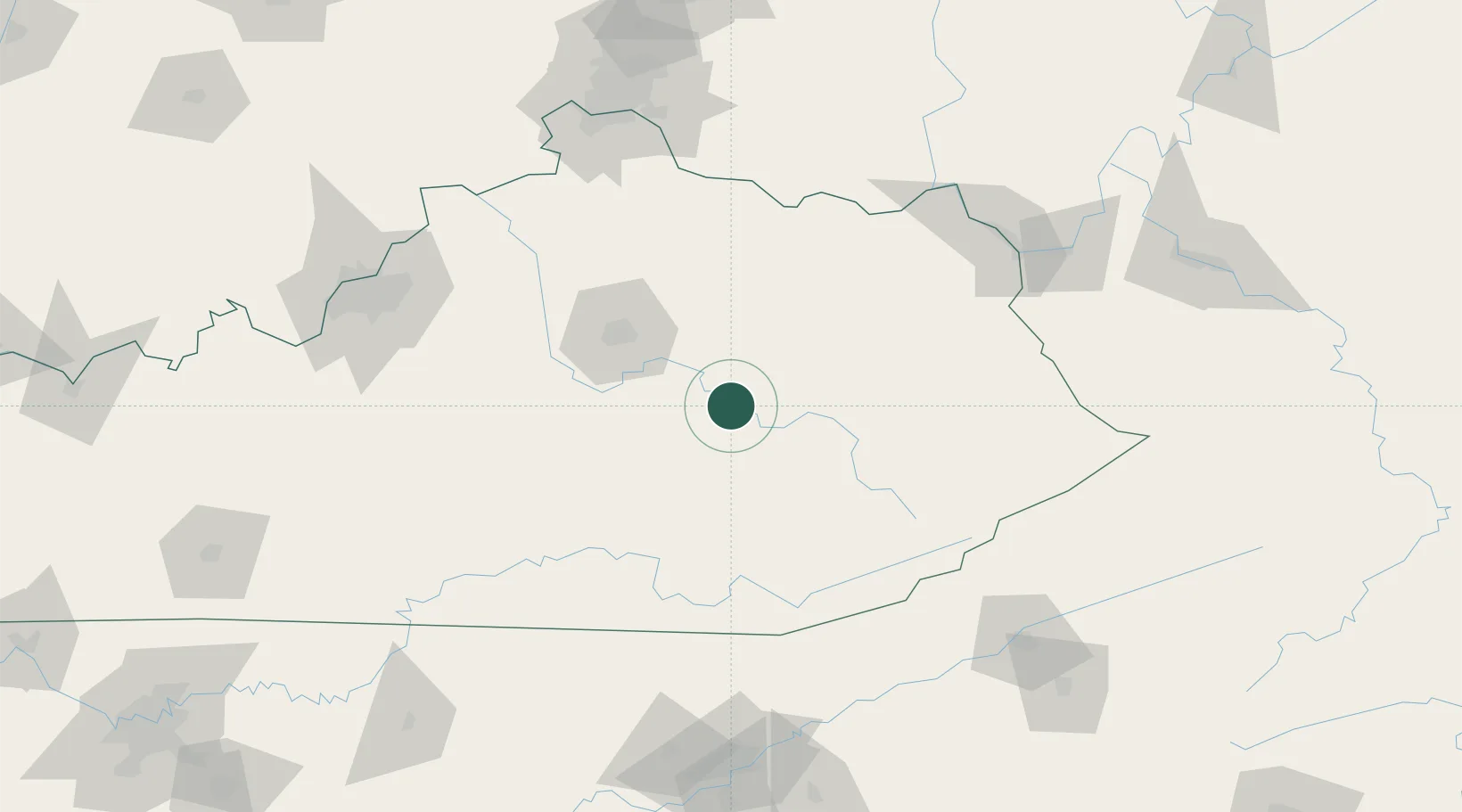
Hub Profile
Place type
Provincial seat
Region
Kentucky
Population
2,416
Time zone
America/New_York
Elevation
207 m
Location
Nearby Logistics Neighbours
Cities
- 1Clay City19 km
- 2Stanton20 km
- 3Jeffersonville34 km
- 4Hazel Green50 km
- 5Jackson55 km
Ports
- 1Huron431 km
- 2Sandusky432 km
- 3Port Clinton435 km
- 4Vermilion439 km
- 5Lorain448 km
Airports
Trade Zones
- 1FTZ No. 047 Boone County163 km
- 2FTZ No. 046 CIncinnati165 km
- 3FTZ No. 029 Louisville173 km
- 4FTZ No. 148 Knoxville190 km
- 5FTZ No. 204 Tri-Cities192 km
DatabookThe Record of Consolidated Knowledge
United States beyond logistics?