UN/LOCODE hub · United States
USCI8
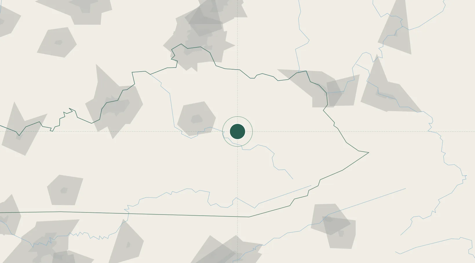
Clay City
37.8500°, -83.9000°
1,095
Population
1
Transport functions
Transport Functions
Multimodal
Hub Profile
Place type
Populated place
Region
Kentucky
Population
1,095
Time zone
America/New_York
Elevation
189 m
Location
Nearby Logistics Neighbours
Cities
- 1Stanton5 km
- 2Jeffersonville14 km
- 3Irvine19 km
- 4Hazel Green43 km
- 5Millersburg54 km
Ports
- 1Huron411 km
- 2Sandusky413 km
- 3Port Clinton416 km
- 4Vermilion420 km
- 5Lorain428 km
Airports
Trade Zones
- 1FTZ No. 046 CIncinnati149 km
- 2FTZ No. 047 Boone County151 km
- 3FTZ No. 029 Louisville173 km
- 4FTZ No. 054 Clinton County176 km
- 5FTZ No. 229 Charleston199 km
DatabookThe Record of Consolidated Knowledge
United States beyond logistics?