Transport Functions
Road
Multimodal
Hub Profile
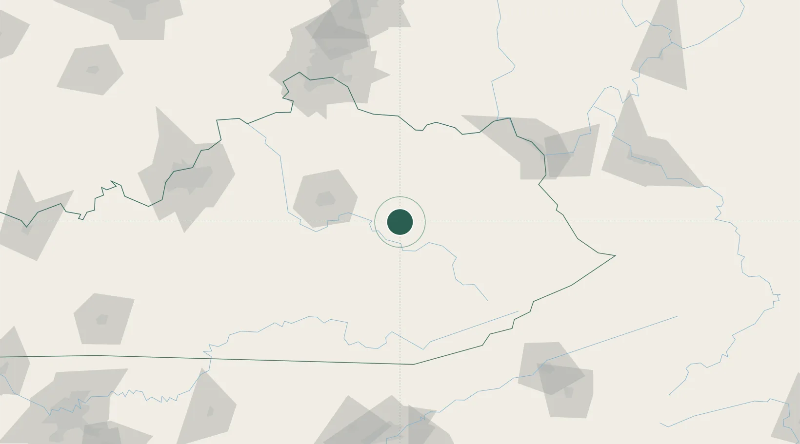
Place type
Provincial seat
Region
Kentucky
Population
2,666
Time zone
America/New_York
Elevation
205 m
Location
Nearby Logistics Neighbours
Cities
- 1Clay City5 km
- 2Jeffersonville15 km
- 3Irvine20 km
- 4Hazel Green39 km
- 5Jackson53 km
Ports
- 1Huron412 km
- 2Sandusky414 km
- 3Port Clinton417 km
- 4Vermilion420 km
- 5Lorain428 km
Airports
Trade Zones
- 1FTZ No. 046 CIncinnati152 km
- 2FTZ No. 047 Boone County155 km
- 3FTZ No. 029 Louisville177 km
- 4FTZ No. 054 Clinton County178 km
- 5FTZ No. 229 Charleston195 km
DatabookThe Record of Consolidated Knowledge
United States beyond logistics?