UN/LOCODE hub · United States
USUDC
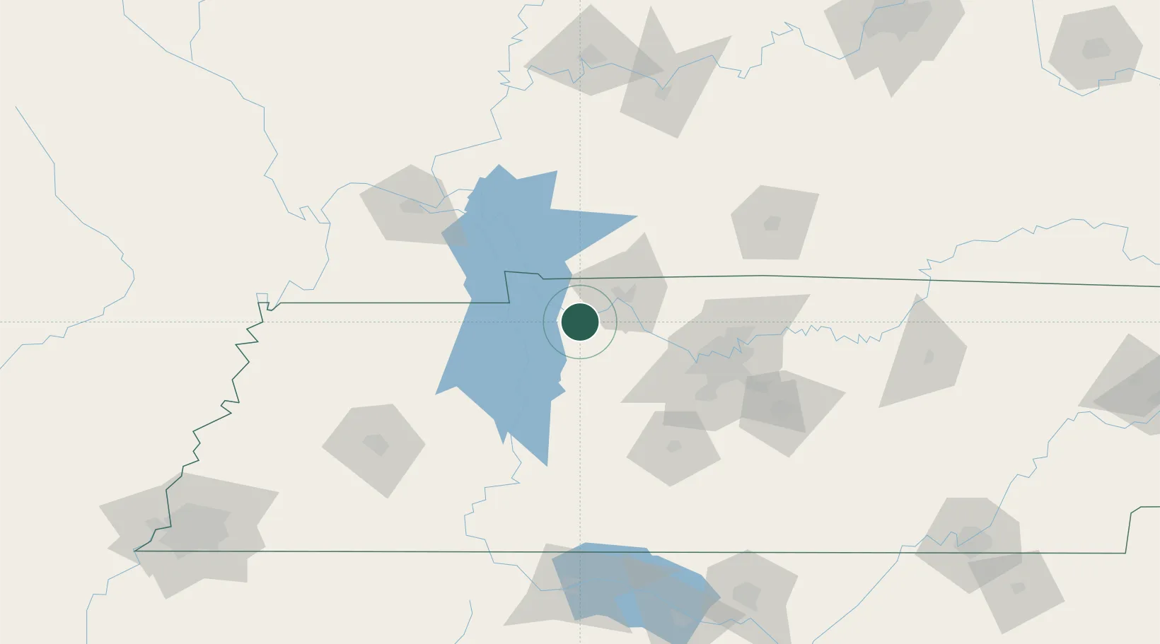
Cumberland City
36.3833°, -87.6167°
302
Population
3
Transport functions
Transport Functions
Port
Road
Multimodal
Hub Profile
Place type
Populated place
Region
Tennessee
Population
302
Time zone
America/Chicago
Elevation
117 m
Location
Nearby Logistics Neighbours
Cities
- 1Erin10 km
- 2Arlington, Houston12 km
- 3Tennessee Ridge16 km
- 4Cumberland Furnace26 km
- 5McEwen32 km
Ports
- 1Port Of Memphis273 km
- 2Gary582 km
- 3Indiana Harbor588 km
- 4Calumet Harbor595 km
- 5Michigan City598 km
Airports
Trade Zones
- 1FTZ No. 078 Nashville54 km
- 2FTZ No. 294 Western Kentucky115 km
- 3FTZ No. 177 Evansville179 km
- 4FTZ No. 283 West Tennessee198 km
- 5FTZ No. 265 Conroe (Montgomery County)200 km
DatabookThe Record of Consolidated Knowledge
United States beyond logistics?