Transport Functions
Multimodal
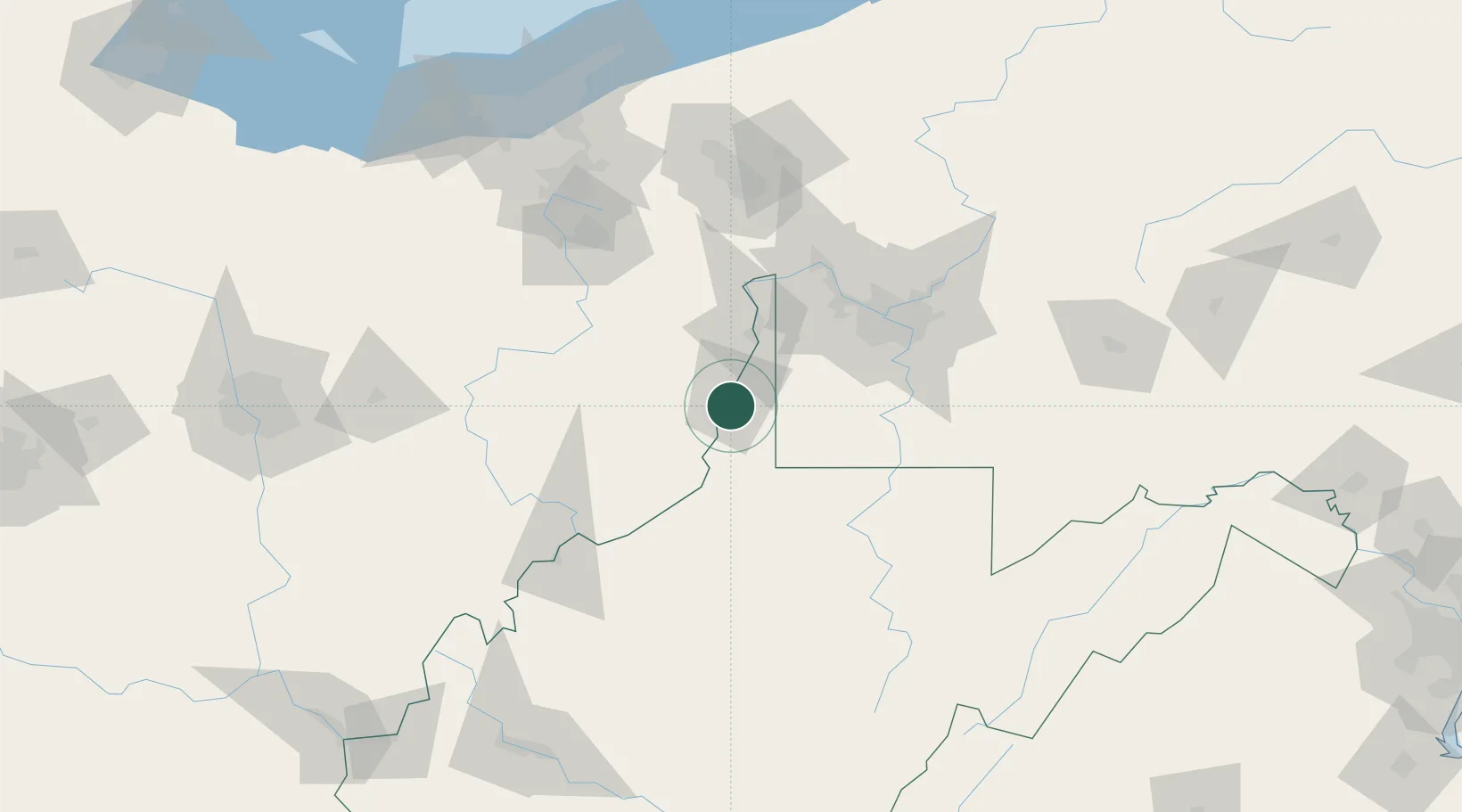
Hub Profile
Place type
Populated place
Region
West Virginia
Population
1,361
Time zone
America/New_York
Elevation
197 m
Location
Nearby Logistics Neighbours
Cities
- 1Shadyside6 km
- 2Lansing7 km
- 3Glen Dale7 km
- 4Kinsman, Belmont19 km
- 5West Alexander22 km
Airports
Trade Zones
- 1FTZ No. 033 Pittsburgh74 km
- 2FTZ No. 181 Akron Canton135 km
- 3FTZ No. 138 Franklin County189 km
- 4FTZ No. 040 Cleveland190 km
- 5FTZ No. 229 Charleston204 km
DatabookThe Record of Consolidated Knowledge
United States beyond logistics?