UN/LOCODE hub · United States
USKMN

Kinsman, Belmont

40.1333°, -80.9000°
3
Transport functions

Transport Functions

Rail
Road
Multimodal
UN/LOCODE

Hub Profile

Region
OH
GeoNames

Location

Location of USKMN
Natural Earth 10m (public domain) · OH · USKMN · 40.13, -80.90GoogleOSMYandex

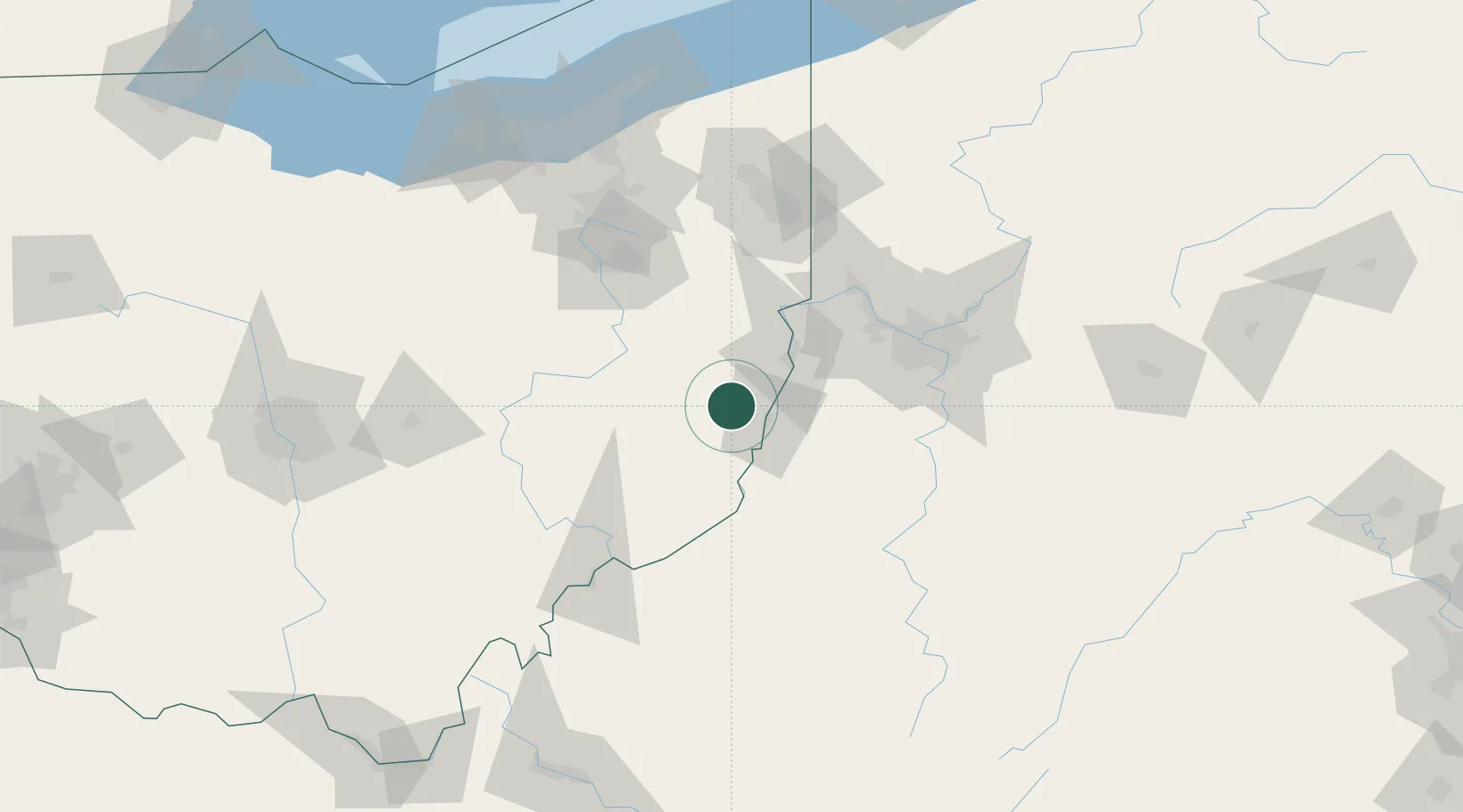
Nearby Logistics Neighbours

Cities
  1. 1Lansing12 km
  2. 2Belmont16 km
  3. 3Morristown17 km
  4. 4Cadiz17 km
  5. 5Benwood19 km
Nearest neighbours — logibook spatial index (haversine) over the source coordinates
Ports
  1. 1Cleveland167 km
  2. 2Lorain183 km
  3. 3Fairport185 km
  4. 4Vermilion190 km
  5. 5Ashtabula197 km
Nearest neighbours — logibook spatial index (haversine) over the source coordinates
Airports
  1. 1Wheeling Ohio County Airport22 km
  2. 2Pittsburgh International Airport69 km
  3. 3Beaver County Airport83 km
  4. 4Allegheny County Airport86 km
  5. 5Zanesville Municipal Airport87 km
Nearest neighbours — logibook spatial index (haversine) over the source coordinates
Trade Zones
  1. 1FTZ No. 033 Pittsburgh79 km
  2. 2FTZ No. 181 Akron Canton116 km
  3. 3FTZ No. 040 Cleveland171 km
  4. 4FTZ No. 138 Franklin County177 km
  5. 5FTZ No. 229 Charleston211 km
Nearest neighbours — logibook spatial index (haversine) over the source coordinates
DatabookThe Record of Consolidated Knowledge
United States beyond logistics?
Browse databook

All Sources

LocationsUN/LOCODE
UN/LOCODE — free
Portsthe NGA World Port Index
Public domain (US gov)
AirportsOurAirports
Public domain
Trade Zonesthe World Bank SEZ database
CC BY 4.0
Trade ZonesOpen Zone Map
CC BY
← United States locations