UN/LOCODE hub · United States
USW8A
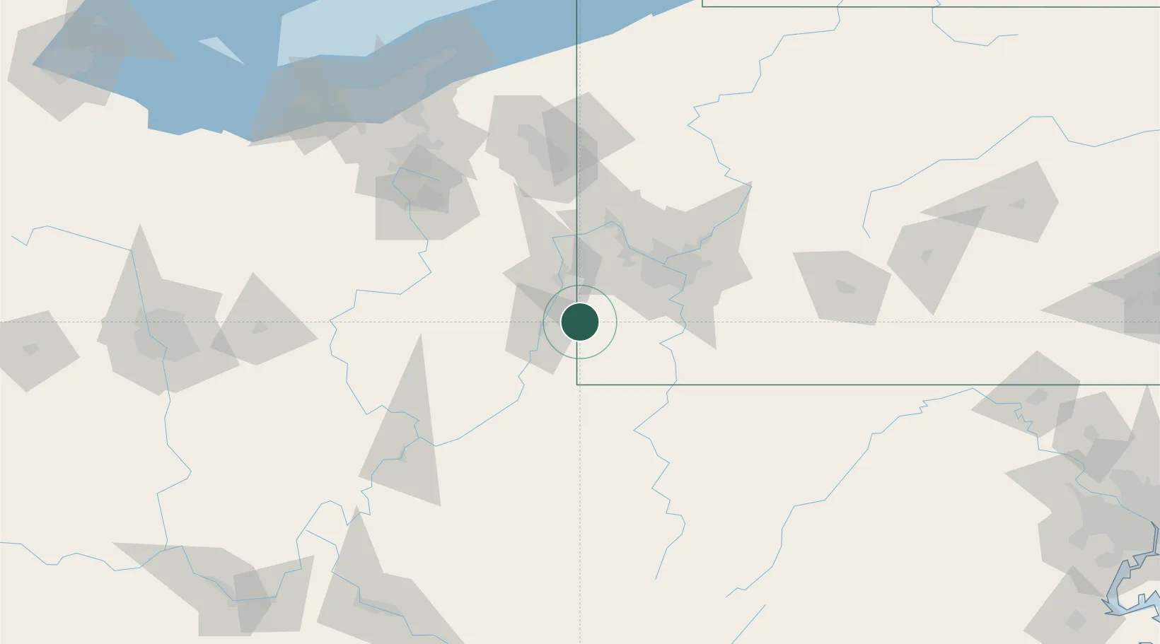
West Alexander
40.1000°, -80.5000°
604
Population
1
Transport functions
Transport Functions
Multimodal
Hub Profile
Place type
Populated place
Region
Pennsylvania
Population
604
Time zone
America/New_York
Elevation
406 m
Location
Nearby Logistics Neighbours
Cities
- 1Point Lookout21 km
- 2Benwood22 km
- 3Lansing24 km
- 4Shadyside26 km
- 5Glen Dale26 km
Airports
Trade Zones
- 1FTZ No. 033 Pittsburgh53 km
- 2FTZ No. 181 Akron Canton142 km
- 3FTZ No. 295 Central Pennsylvania187 km
- 4FTZ No. 040 Cleveland192 km
- 5FTZ No. 254 Jefferson County209 km
DatabookThe Record of Consolidated Knowledge
United States beyond logistics?