Transport Functions
Rail
Road
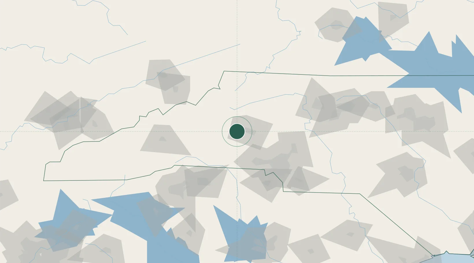
Hub Profile
Place type
Populated place
Region
North Carolina
Population
2,664
Time zone
America/New_York
Elevation
362 m
Location
Nearby Logistics Neighbours
Cities
- 1Connelly Springs4 km
- 2Connellys Springs5 km
- 3Sawmills11 km
- 4Lawndale36 km
- 5Nebo, McDowell42 km
Ports
- 1Georgetown329 km
- 2Charleston356 km
- 3Wilmington360 km
- 4Wrightsville372 km
- 5Beaufort372 km
Airports
Trade Zones
- 1FTZ No. 057 Mecklenburg County62 km
- 2FTZ No. 038 Spartanburg County116 km
- 3FTZ No. 204 Tri-Cities120 km
- 4FTZ No. 230 Piedmont Triad Area130 km
- 5FTZ No. 238 Dublin168 km
DatabookThe Record of Consolidated Knowledge
United States beyond logistics?