UN/LOCODE hub · United States
USC25
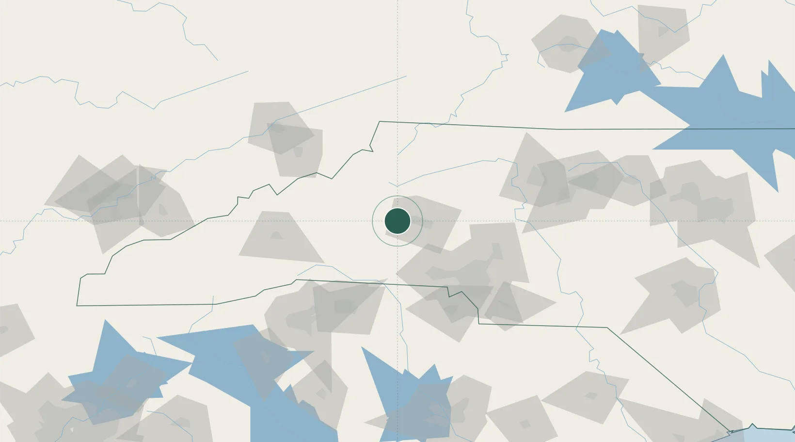
Connelly Springs
35.7333°, -81.5000°
1,635
Population
2
Transport functions
Transport Functions
Port
Multimodal
Hub Profile
Place type
Populated place
Region
North Carolina
Population
1,635
Time zone
America/New_York
Elevation
358 m
Location
Nearby Logistics Neighbours
Cities
- 1Connellys Springs2 km
- 2Icard4 km
- 3Sawmills10 km
- 4Lawndale37 km
- 5Nebo, McDowell39 km
Ports
- 1Georgetown332 km
- 2Charleston359 km
- 3Wilmington364 km
- 4Beaufort375 km
- 5Wrightsville376 km
Airports
Trade Zones
- 1FTZ No. 057 Mecklenburg County65 km
- 2FTZ No. 038 Spartanburg County116 km
- 3FTZ No. 204 Tri-Cities117 km
- 4FTZ No. 230 Piedmont Triad Area132 km
- 5FTZ No. 238 Dublin168 km
DatabookThe Record of Consolidated Knowledge
United States beyond logistics?